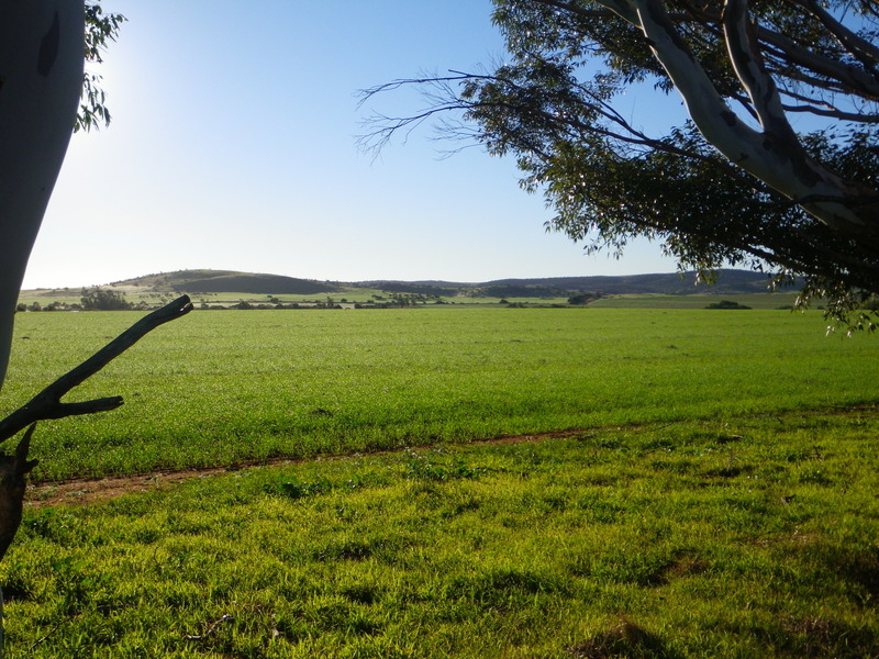
North of Geraldton, I decided to take a detour and visit Kalbarri National park. The road there was small but sealed, which is what they call paved roads in Australia -- dirt roads are "unsealed".
The road goes through an agricultural area which reminded me of drawings I've seen of Tolkien's "Shire", where the Hobbits live.
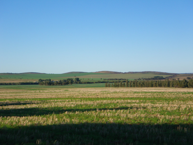
Interestingly, Western Australia (or perhaps all of Australia) is divided into shires, the way the U.S. is divided into counties.
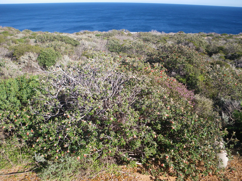
In Kalbarri national park, I was very excited to see an abundance of Banksia plants, some of them flowering.
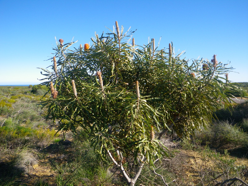
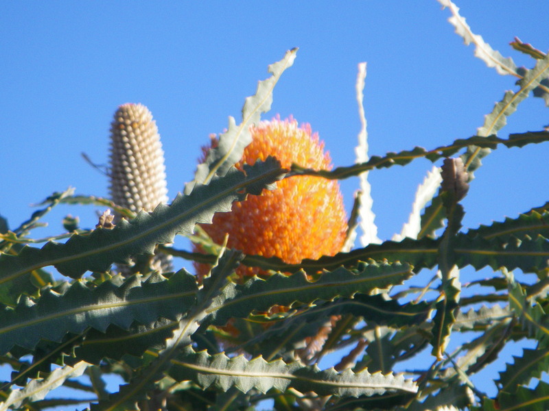
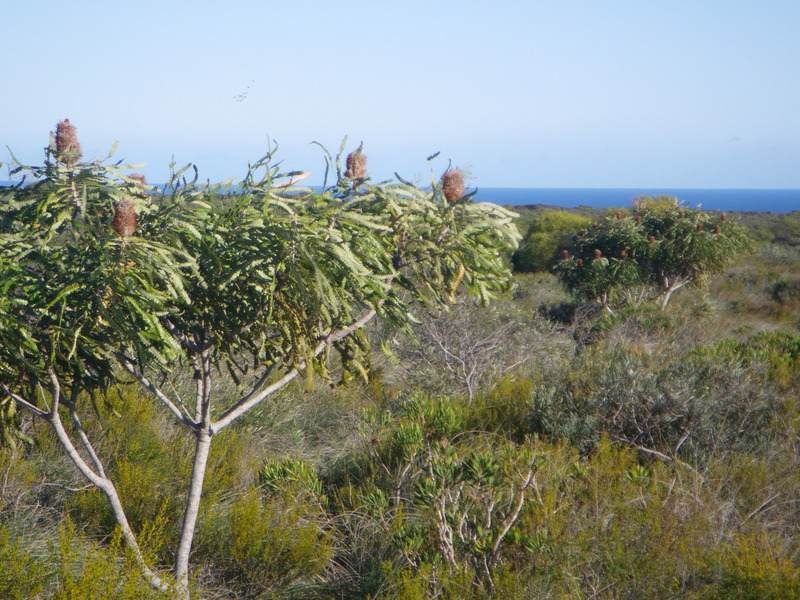
They really are quite distinctive, and I recognized them thanks to my study in the botanical garden in King's Park, in Perth.
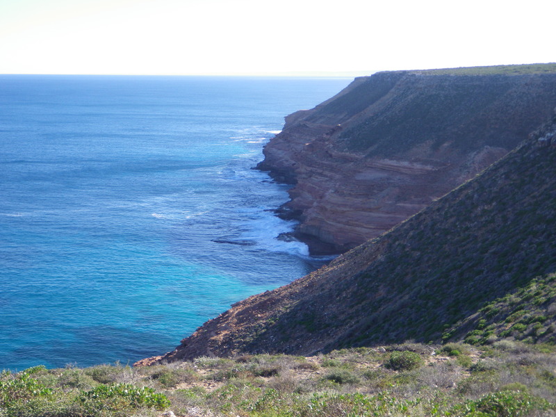
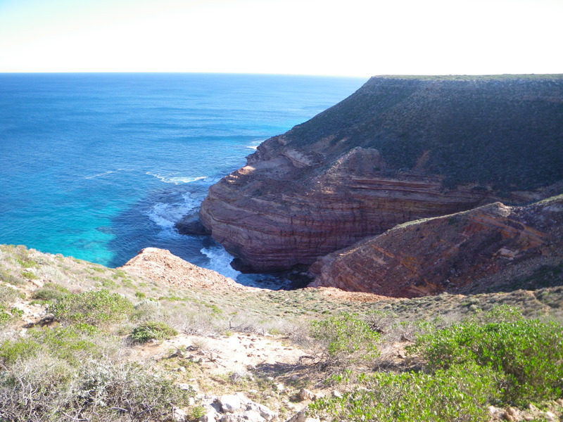
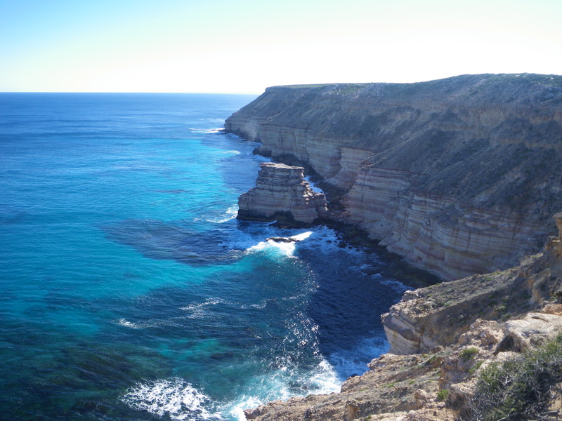
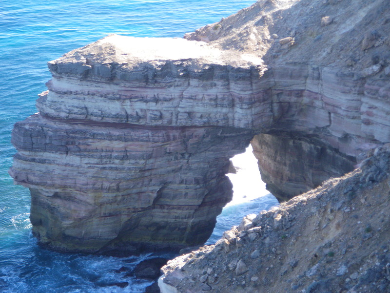
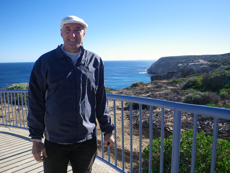
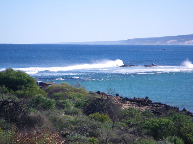
Kalbarri national park straddles the Murchison river and is also along the coast, with good access to some beautiful cliffs.
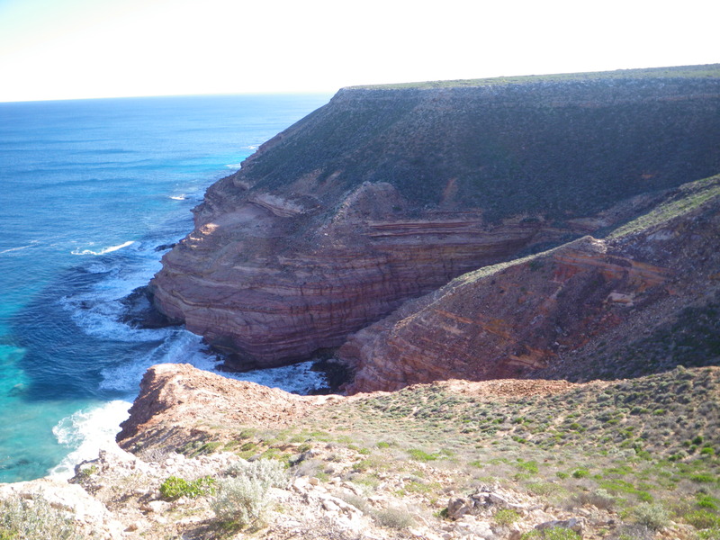
One feature is called Island Rock.
There is also a natural arch.
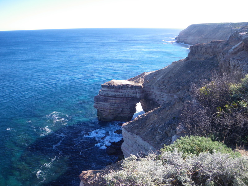
The cliffs reminded me of Santa Cruz island in California (which is nowhere near the town of Santa Cruz), and also of the Napali coast of Kauai, though the cliffs are much smaller than the cliffs on the Napali coast. Also, much more accessible!!! No need to hike for a day or two.
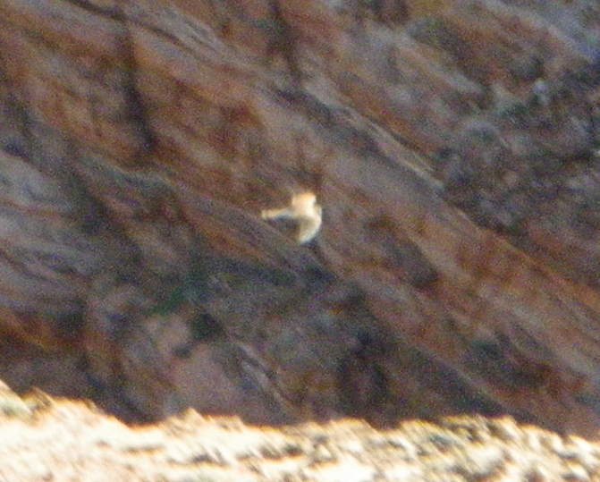
There were also lots of birds. As usual, much more than I was able to photograph effectively.
The trail that joins these lookout points is called the Bigurda trail. The signs say to keep an eye out for a Bigurda, or Euro (Macropus robustus), with its distinctive reddish fur. But somehow, the signs never mention whether the Bigurda is an animal or a plant! I asked some Australian visitors at the site, and they had no idea.
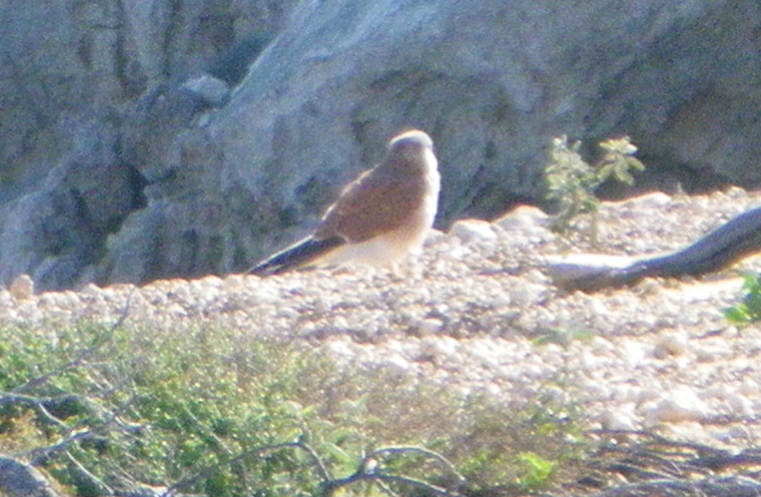
Later I found out the Bigurda is a kind of Kangaroo. In any case, I didn't see any. The only mammals I saw looked like this.
The vegetation was very interesting, though apart from the Banksia, I don't really know what the different plants are.
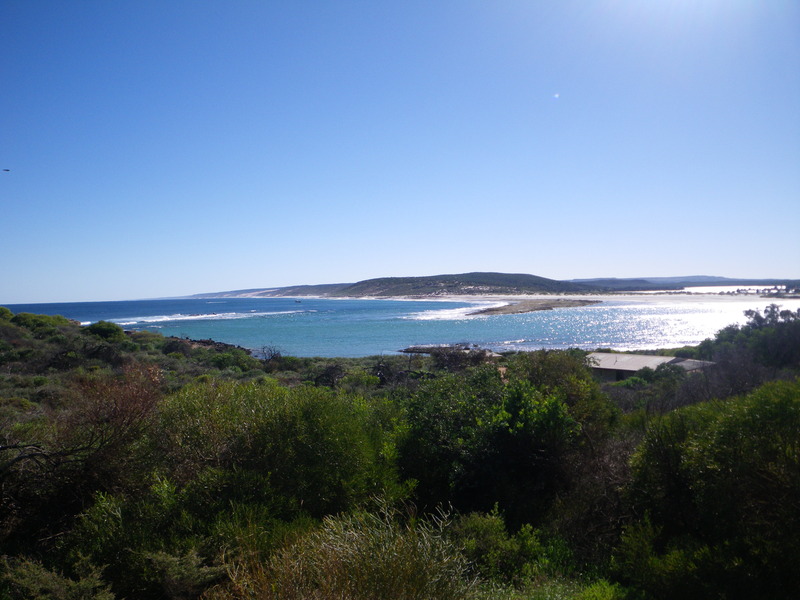
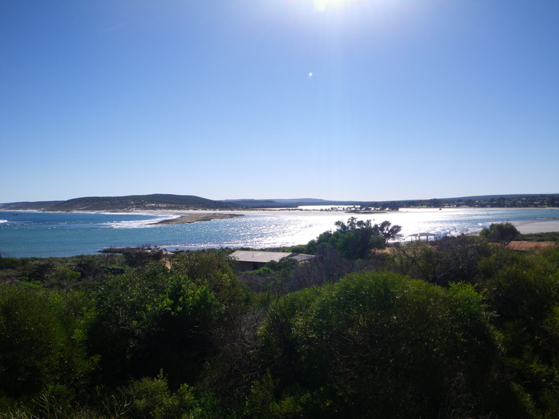
The mouth of the Murchison river is in the town of Kalbarri rather than in the national park, but is equally impressive.
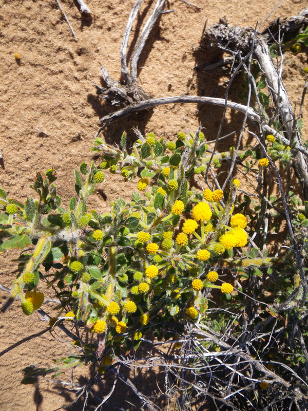
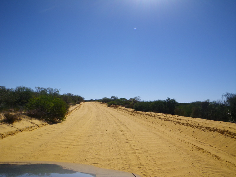
I liked the Murchison river, so I decided to see one of its gorges, which again is in Kalbarri National park. This particular gorge is called Z-bend, and to get there, you have to drive about 30km along a sandy (unsealed) road with several washboard sections.
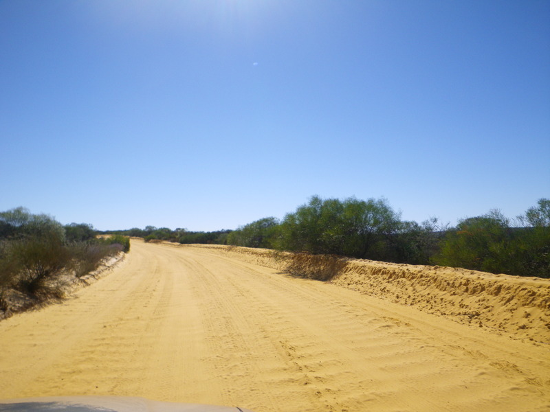
The washboard are the ridges across the road. I am not sure how they form, but I have seen them on dirt roads around the world, so I suspect they are formed by cars driving over the dirt road.
The sandy sections of the road felt like driving on snow.
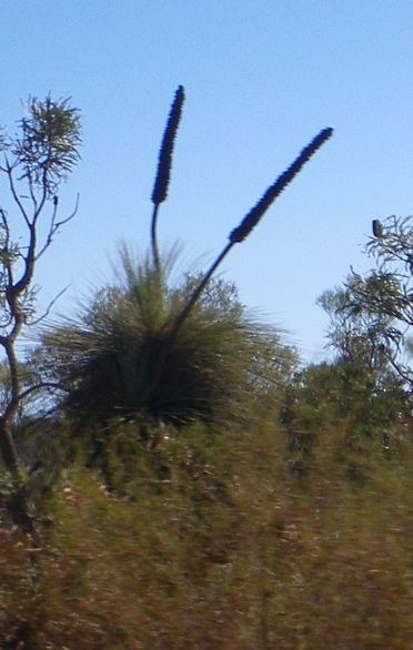
This road did give me a chance to see the flowers of the grass tree.
The Murchison river gorge is beautiful, but honestly, possibly not worth the 60km round trip on an unsealed road. In any case, once I got there, I was happy to admire it. The river runs along some natural fractures called joints, which are perpendicular to each other, with the result that on a map, the river forms a Z shape. From the ground, we can just see the gorge making a right-angle turn.
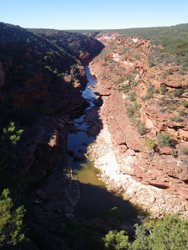
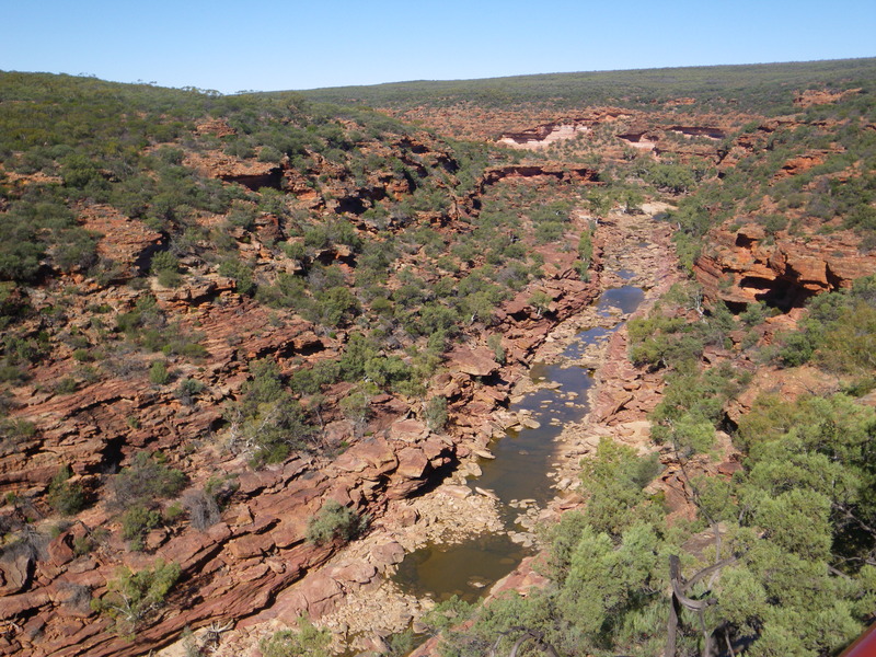
The lookout is right next to one of the joints (fractures), which continues past the point where the river turns. This picture is from near the lookout, looking down the joint towards the river.
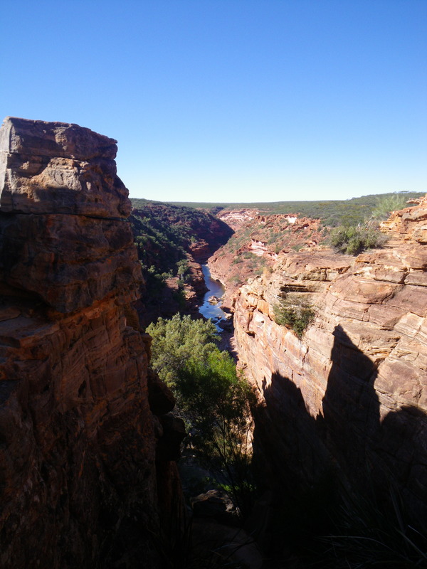
Overall, the red rock and steep gorge reminded me a lot of the area near the Grand Canyon in Arizona, though this gorge is considerably smaller than the Grand Canyon, or even Waimea Canyon on Kauai.
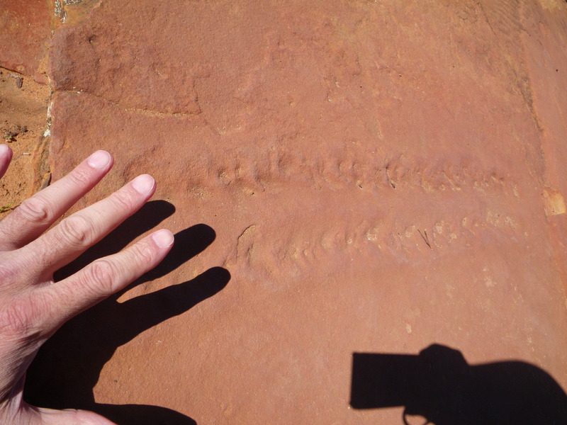
Near the lookout are also the fossilized tracks of a giant Arthropod called a Eurypterid. They were left in the wet sand around 400 million years ago, and have now turned to rock. The arthropod (maybe like a giant crab) was at least as big as my hand.
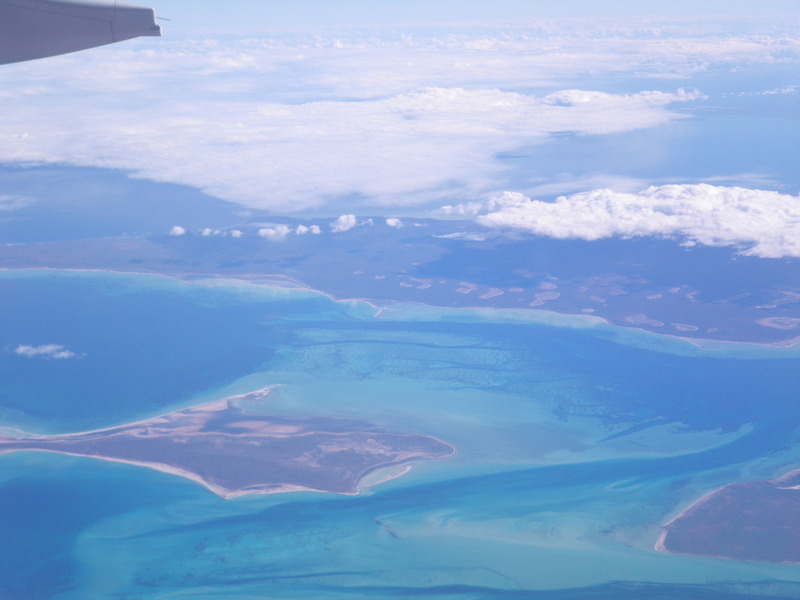
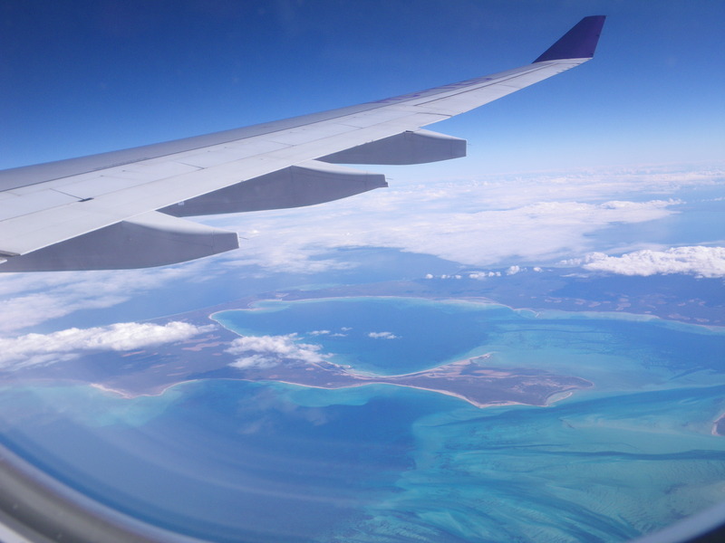
To get to Carnarvon, I skirted around Shark Bay. Which is a shame, because Shark Bay has many attractions, beginning with stromatolites. Instead, here are some pictures I took of the islands around Shark Bay when I was flying from Bangkok to Perth, from the right side of the airplane.