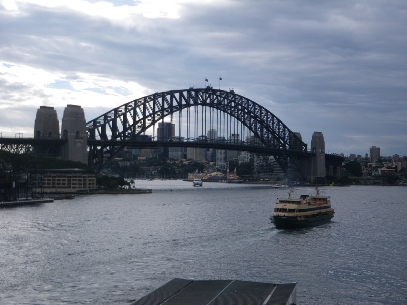
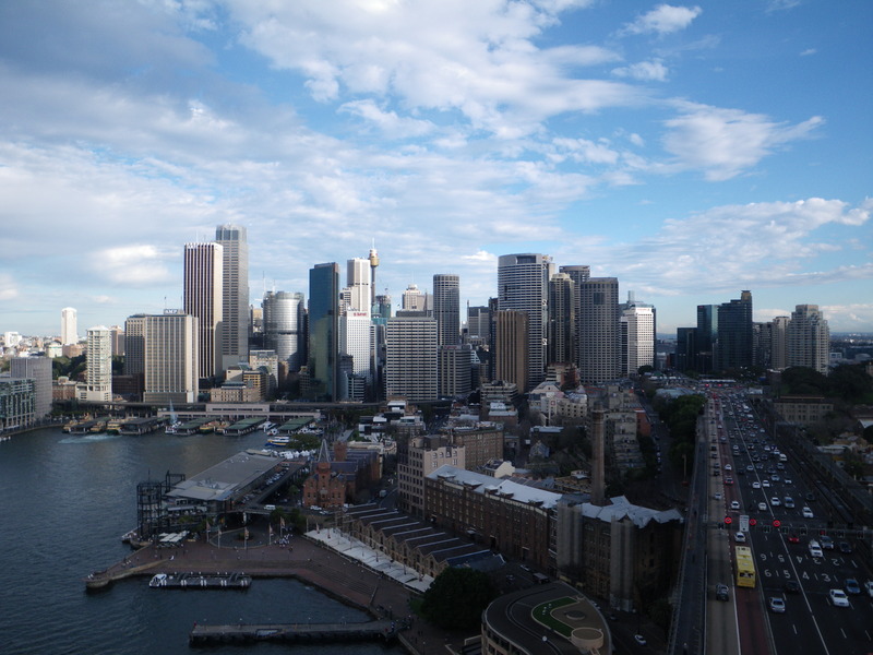
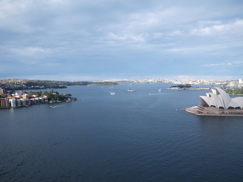
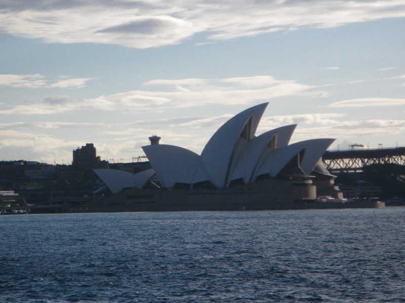
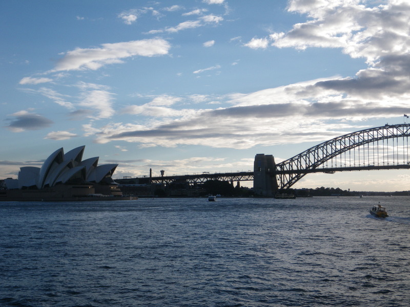
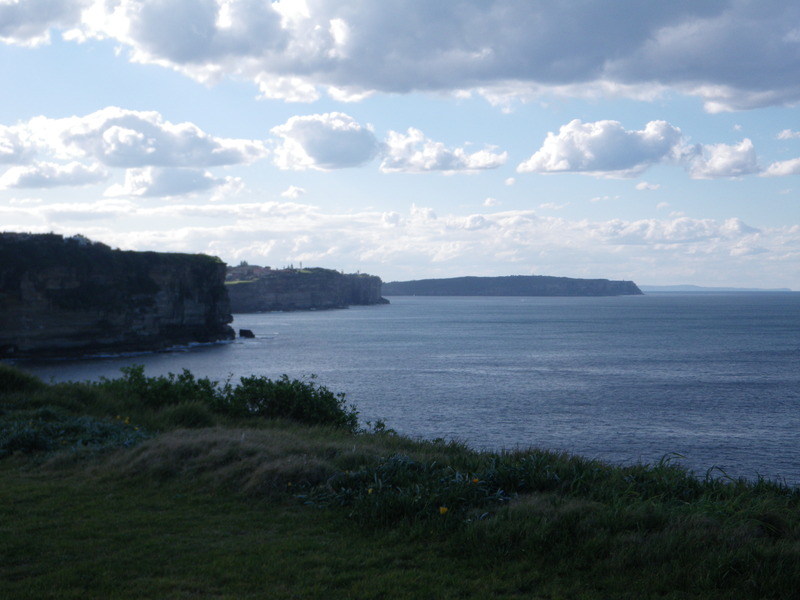
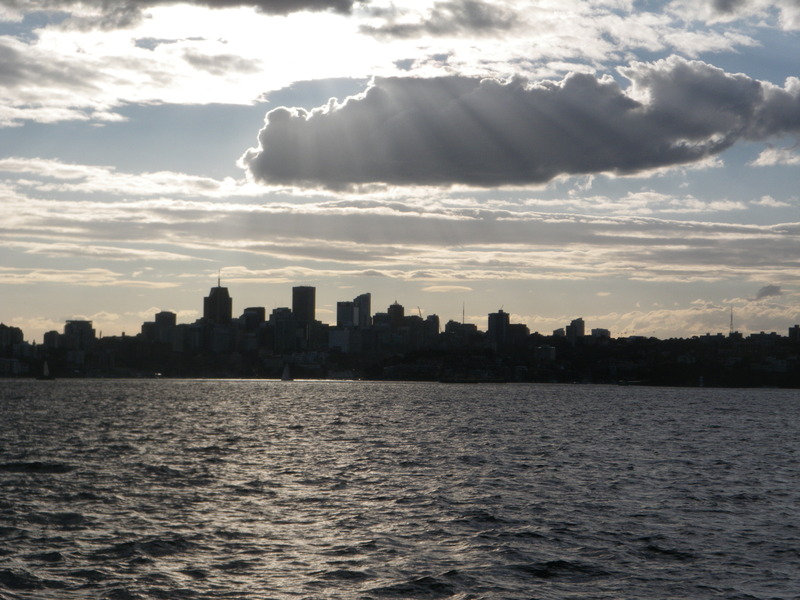
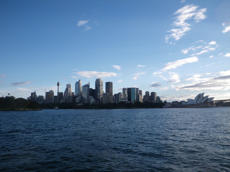
Sydney has a harbor which many years ago was described as one of the finest natural harbors in the world. Across part of the harbor is the Harbor Bridge. It offers good views of the Sydney Opera house.
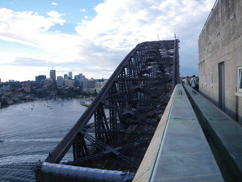
The South-Eastern pylon is open to visitors, and offers good views of downtown Sydney, much of Sydney harbor, North Sydney, and even the Pacific Ocean beyond.
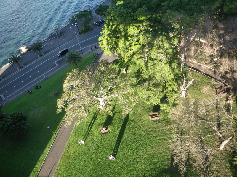
Around sunset, it can be fun to look down on people and trees.
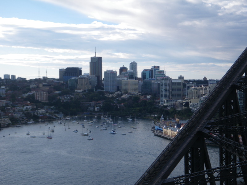
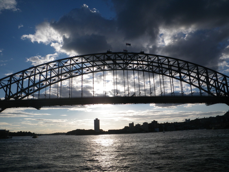
I was hoping to view the sunset from the bridge. The bridge has two good walkways, one each on the Eastern and Western side. Unfortunately for me, the Western walkway is only open to cyclists, and I did not have a bicycle. So this is the sunset from the Eastern walkway.
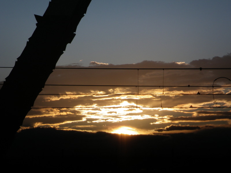
Maybe some day I will wake up early enough to see the sunrise, or even get a bicycle and see the sunset from the Western walkway!
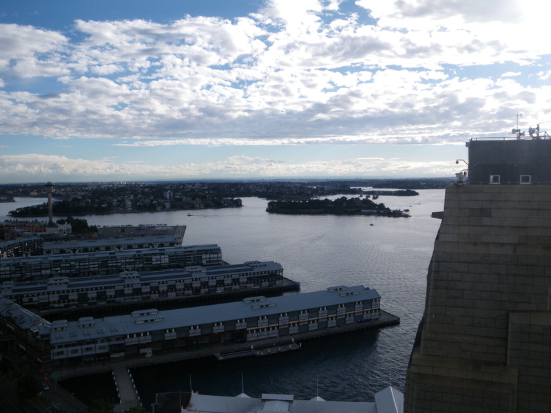
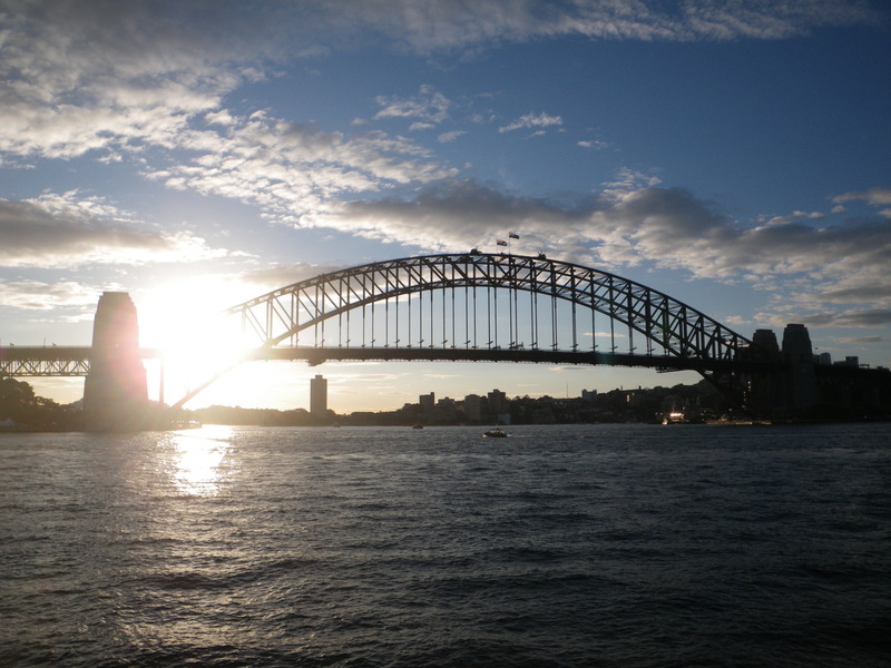
On a different day, I saw the Harbor Bridge shortly before sunset.
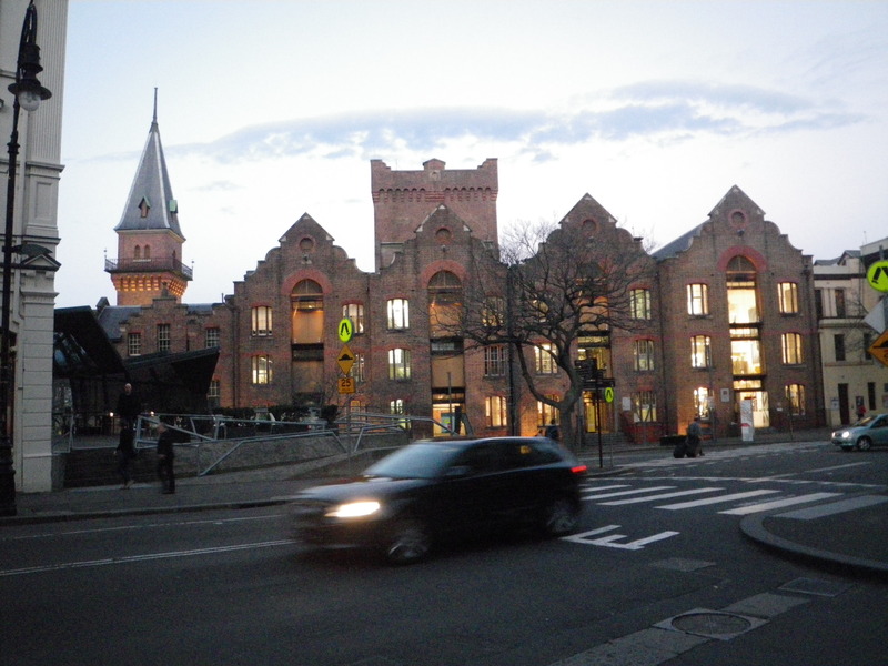
The area below the South end of the bridge is called The Rocks, and is where Sydney was first started. Hosting seamen and unsavory businesses, it was at times a very disreputable area. It has now been cleaned up, though some buildings can still be found that look like they belong in London more than in Sydney.
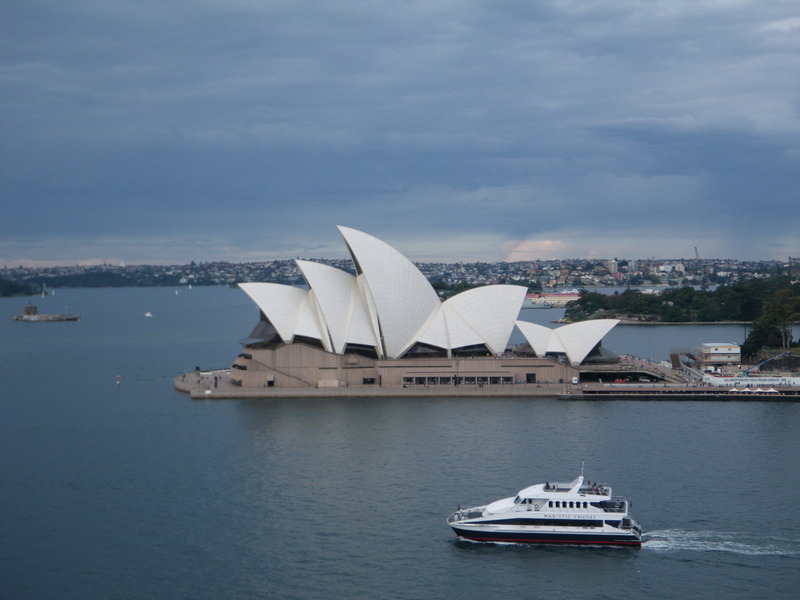
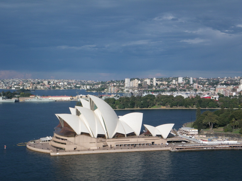
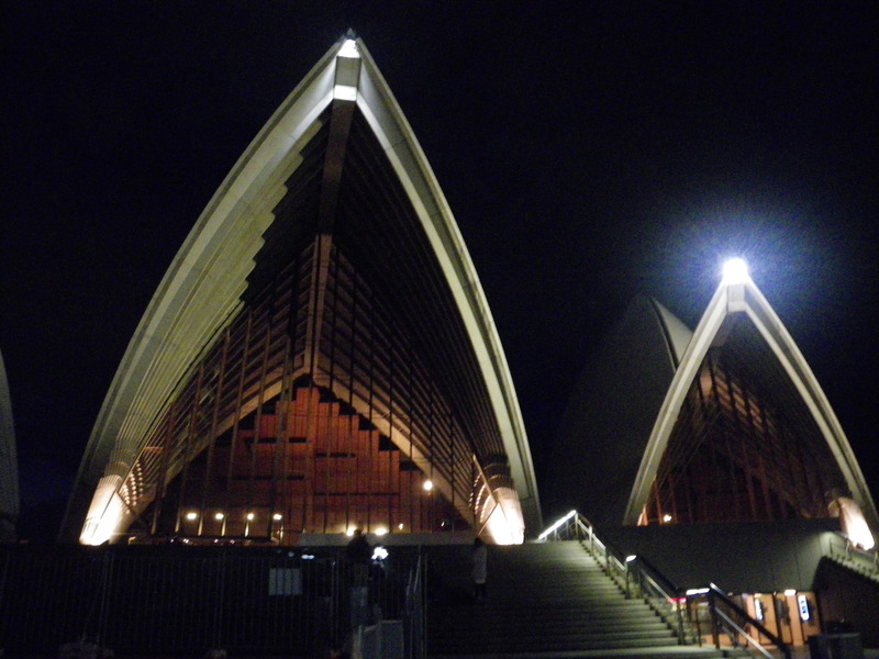
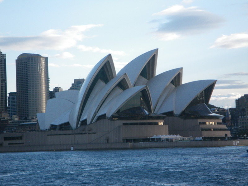
Well-known as the opera house is, I still found it interesting. Its appearance changed fairly dramatically with the angle from which I saw it, and it has a sort of irresistible charm. Even considering it cost over 10 times what was budgeted, and took more than 10 years longer to build than planned, the result is quite impressive.
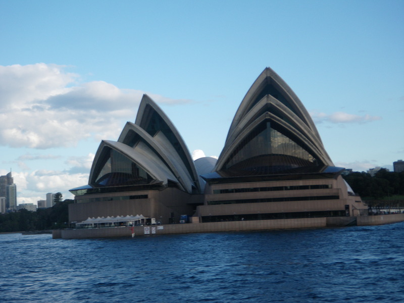
The actual theaters are built of wood inside the outside concrete buildings.
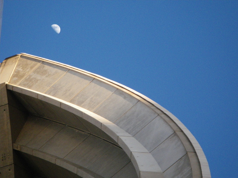
It seems to me that the half moon and the opera house have something in common.
Macquarie (the last part is pronounced like a place where one would quarry for stone) was sent in 1810 from England to be governor of New South Wales.
Before his arrival, the military of the new colony had found it very profitable to trade in rum. When the previous governor, Bligh, had tried to put an end to officers' involvment in the rum trade, the officers and others who had profited from the trade arrested the governor and kept him prisoner for a year. This became known as the Rum Rebellion.
Macquarie brought his own regiment and put down the Rum Rebellion.
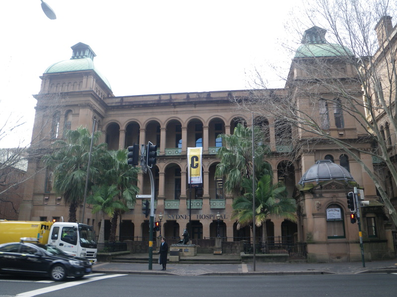
He then used the proceeds from the next three years' sales of rum to build the Sydney Hospital, which still stands on Macquarie Street in Sydney.
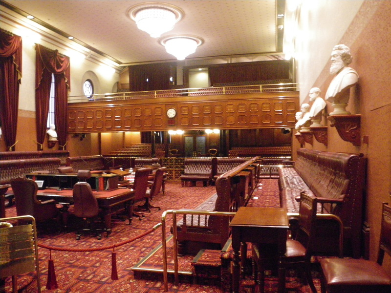
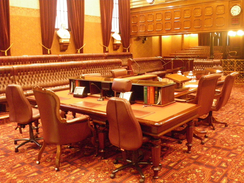
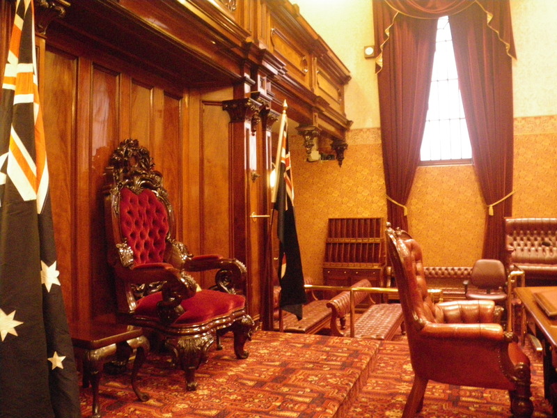
Just North of Sydney Hospital, still on Macquarie Street, is the parliament of New South Wales.
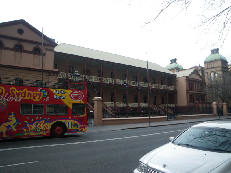
While the building is not particularly impressive, it does have a classical look. Inside is the Legislative Assembly Chamber, which is the lower house of parliament,
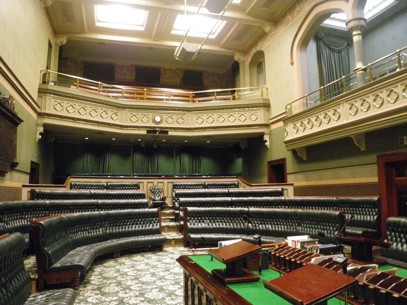
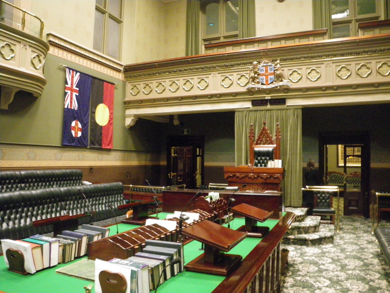
and the Legislative Council Chamber, the upper house of parliament.
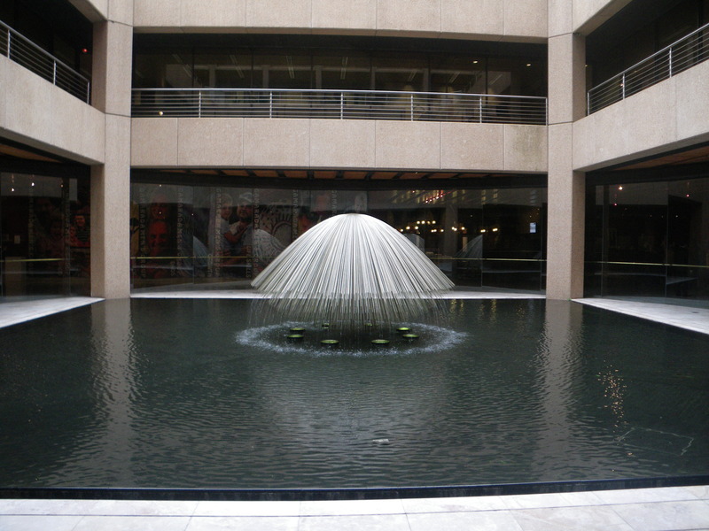
Behind the old building is a newer, bigger building, as can almost be seen in this picture of a model of the two buildings.
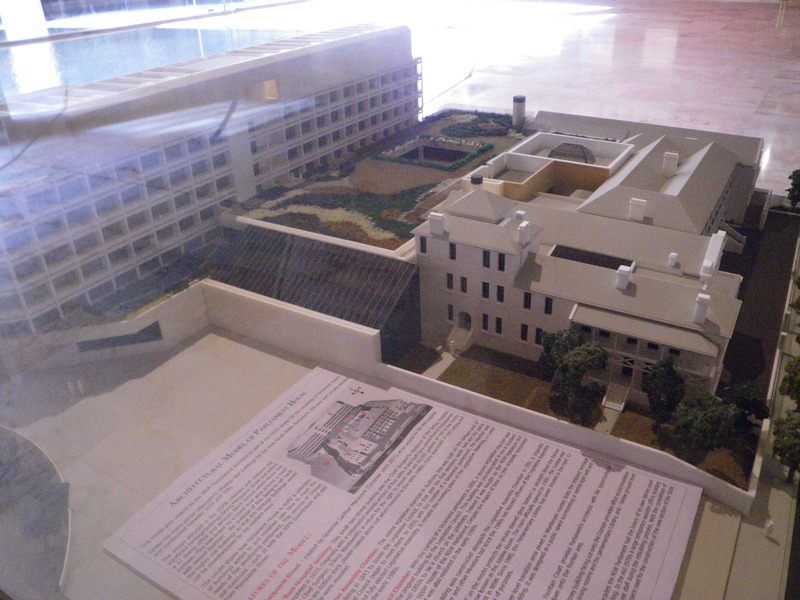
The square courtyard in the middle of the picture of the model has a nice fountain.
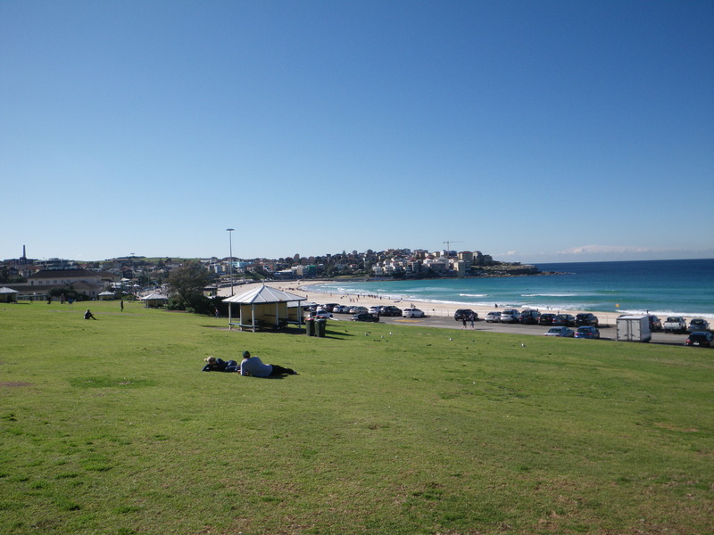
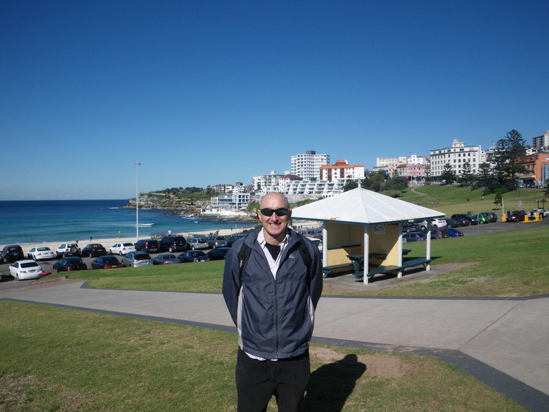
Bondi beach (pronounced "bon dye", and probably derived from an aboriginal language) is perhaps the most famous beach in Sydney. It is on the ocean, outside the harbor, and South of the harbor entrance. It is well connected to Sydney by public transport, but I got off the train one stop early, and admired some of the flowers in the suburban gardens.
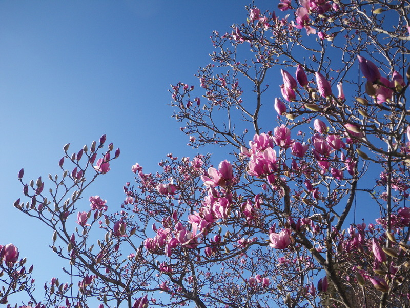
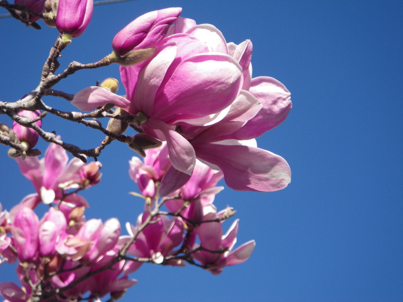
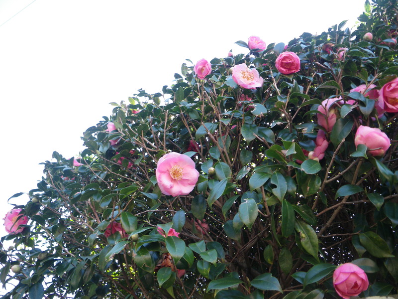
Since this is the depth of winter, corresponding to the end of January in the Northern hemisphere, I was a little surprised to see so many flowers, but Sydney after all is 33 degrees South, or almost 1,000km closer to the equator than New York.
Bondi beach is indeed beautiful, if a little overdeveloped.
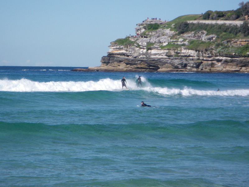
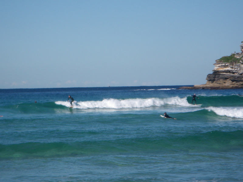
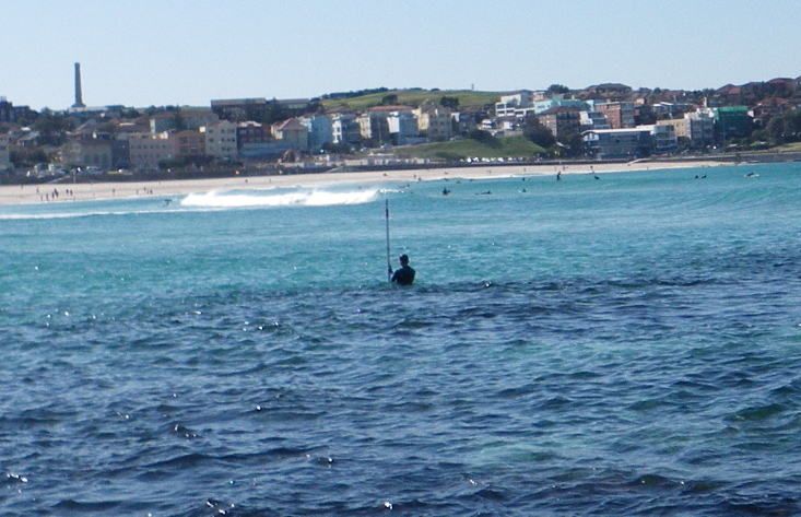
I was happy to see some surfers, and not surprised they were all wearing wetsuits to keep warm.
I was surprised to see a man walking around in the water with a big pole in his hands. He said he was taking measurements.
A nice crab came out to enjoy the sun not far from where I was eating my lunch. It may have been 10-15cm across.
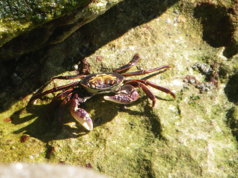
One of the signs said we were not supposed to collect or harvest invertebrates in the Intertidal area. Maybe people obey the sign, and the lack of human predation made the crab bolder.
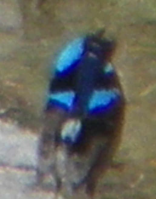
I also saw a little bird of a color I don't think I've ever seen before. The bird was moving so fast that I wasn't able to get a good picture, and I am surprised that I got any picture at all. In any case, at least you can see the color.
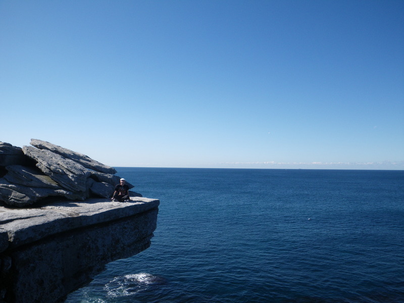
I believe I also saw a penguin in the water from a cliff. Again, it was moving fast and I didn't get a good picture, but the person standing next to me also thought it was a penguin.

The walk South along the shoreline is very nice. It included quite a few cliffs and Tamarama beach, where I went swimming for about 3 minutes. The water was not too cold, but cold enough that I did not want to stay very long.
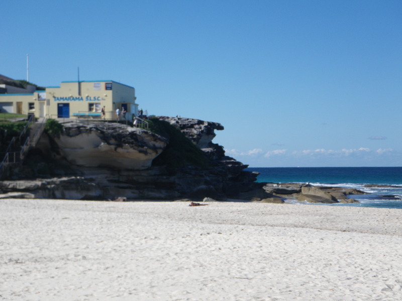
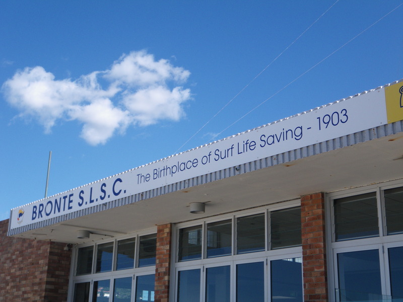
Bronte beach is supposedly where life saving on beaches got its start.
Bronte beach has some Norfolk island pines.
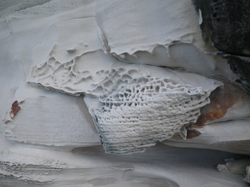
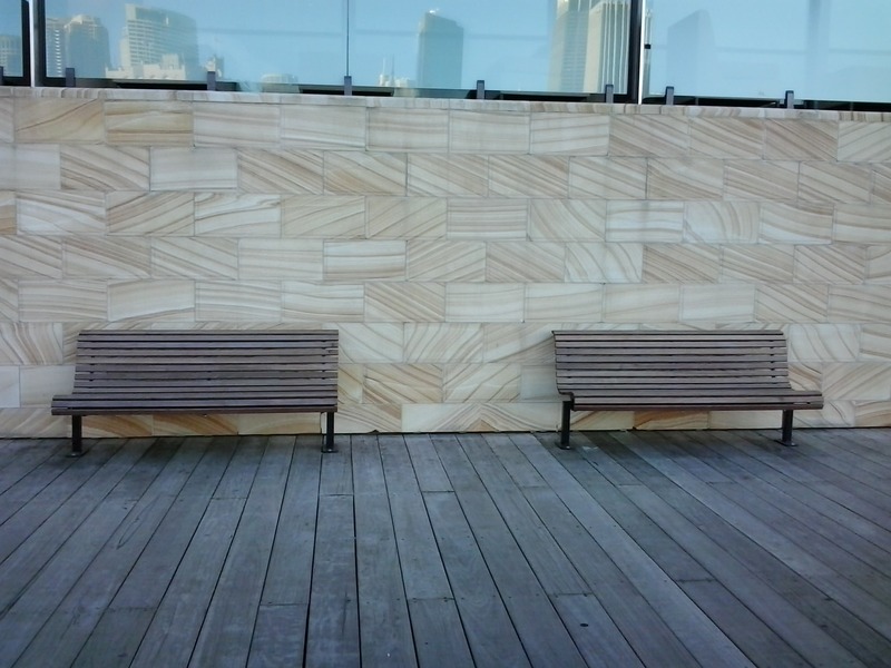
Along the way, the sandstone made some interesting patterns.
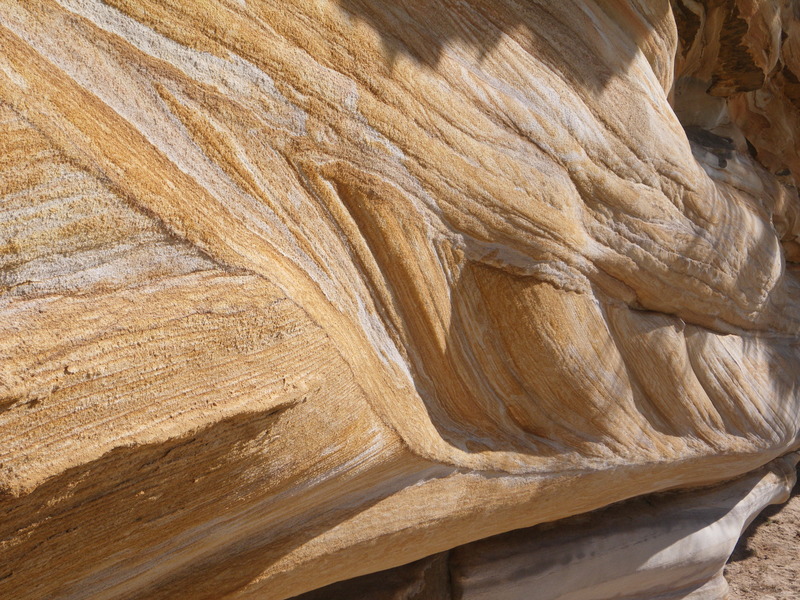
I think an architect must have been inspired by this sandstone, because a building near Sydney harbor is decorated with sandstone aligned in different ways.
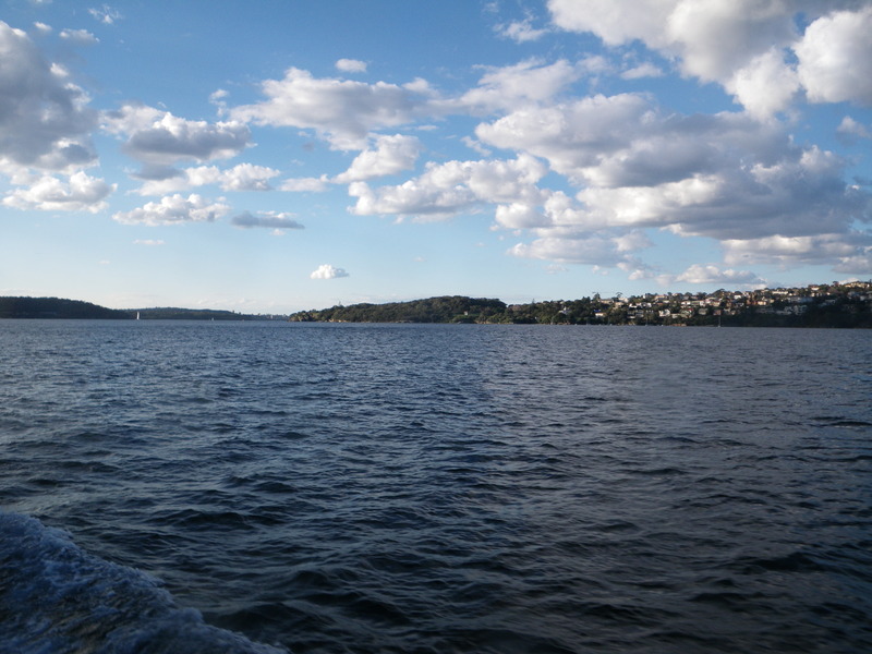
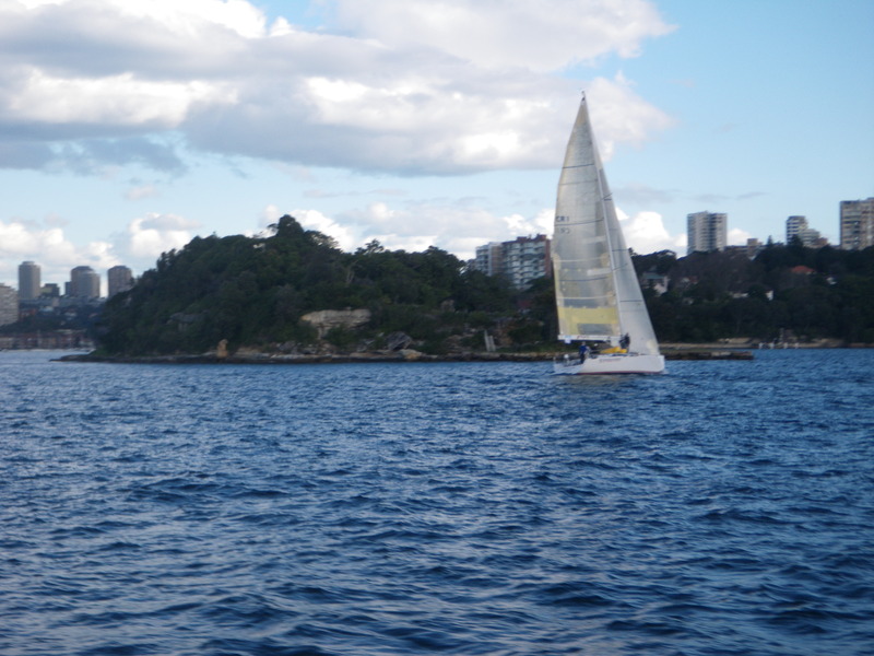
After Bondi, I walked North and then West until I got back to Sydney Harbor.
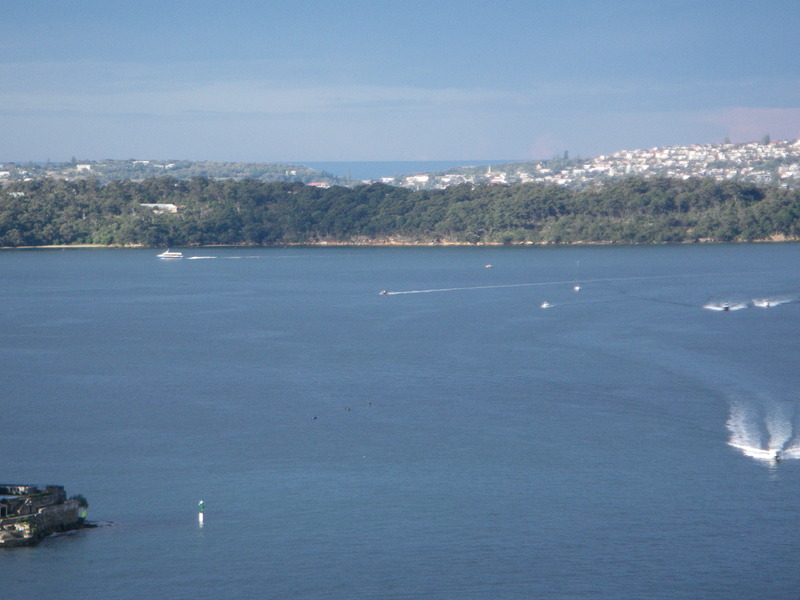
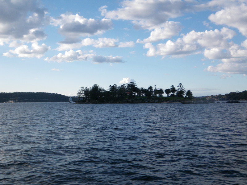
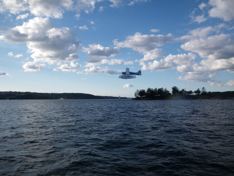
From there, I took a ferry to downtown. The most exciting moment was when a seaplane took off nearby, but the views of the harbor were nice throughout.
One day I took the train from Sydney about two hours west, to Katoomba in the Blue Mountains area of New South Wales.
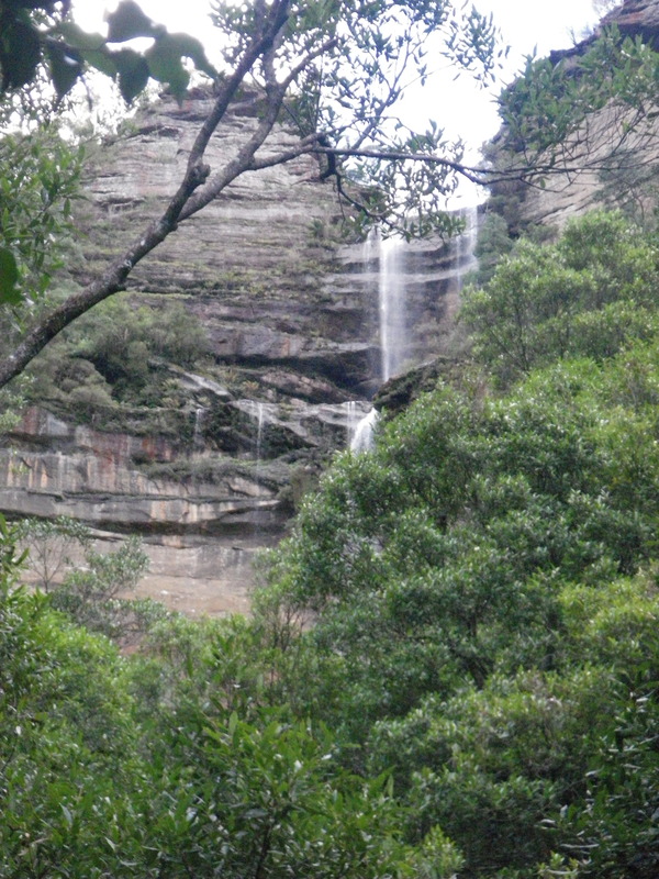
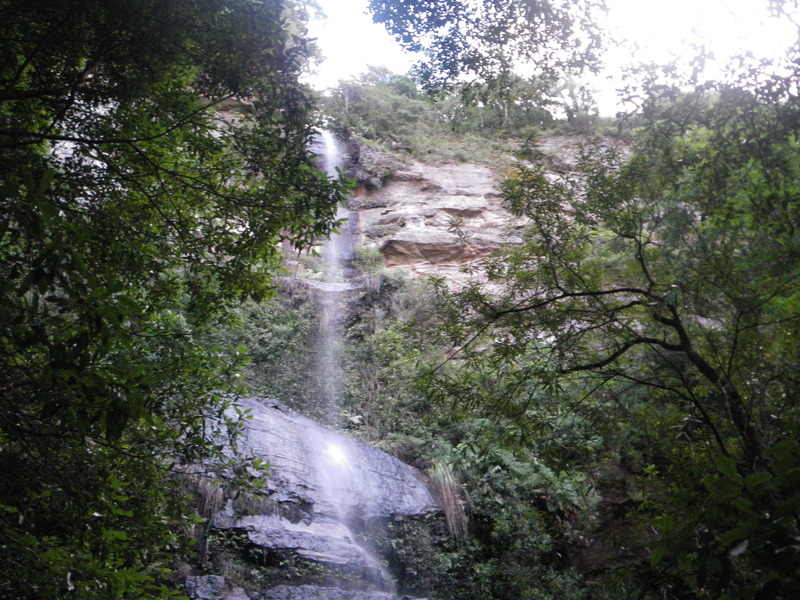
The Blue Mountains were very challenging for early explorers, who kept looking for a pass across them. However, the mountains form a high tableland, and there are no passes across the mountains. Instead, the edge of the tableland is rimmed with cliffs and waterfalls.
Eventually, the explorers figured out that the way to cross the Blue Mountain was to follow a ridge to the top, cross the relatively flat tableland, and go down a ridge on the other side.

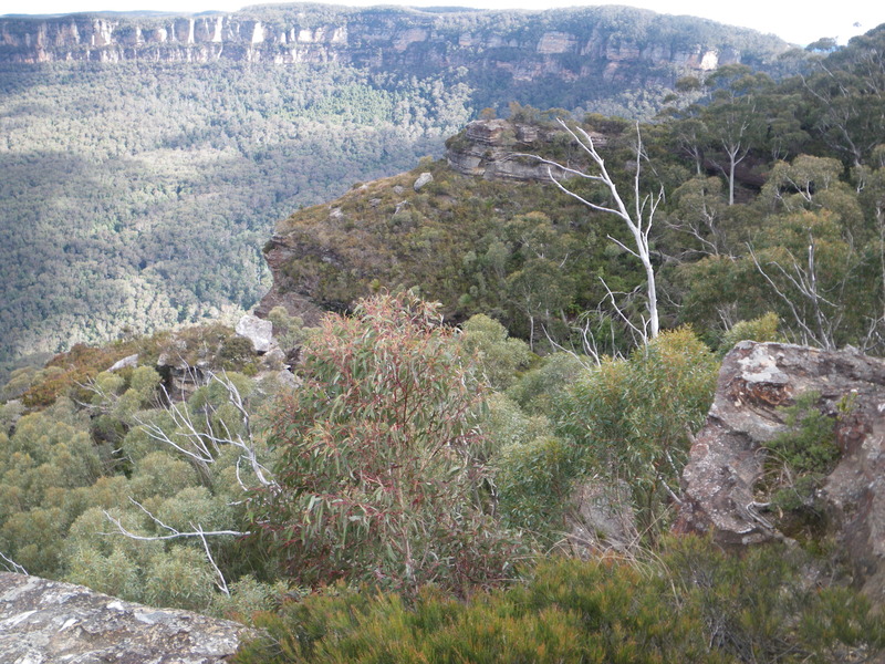
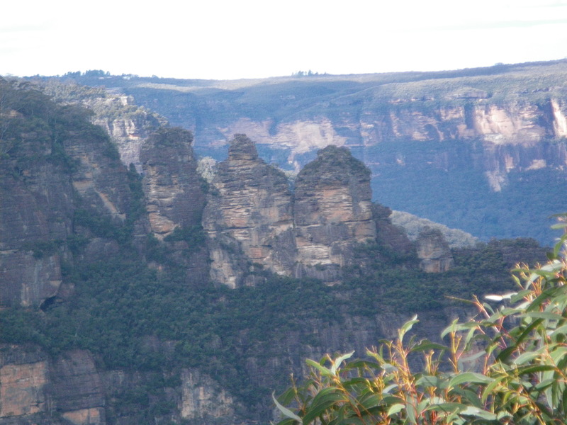
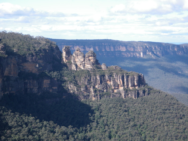
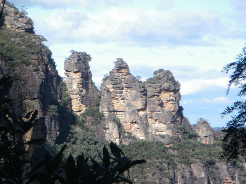
These pictures are from Malaita lookout, where I had lunch.
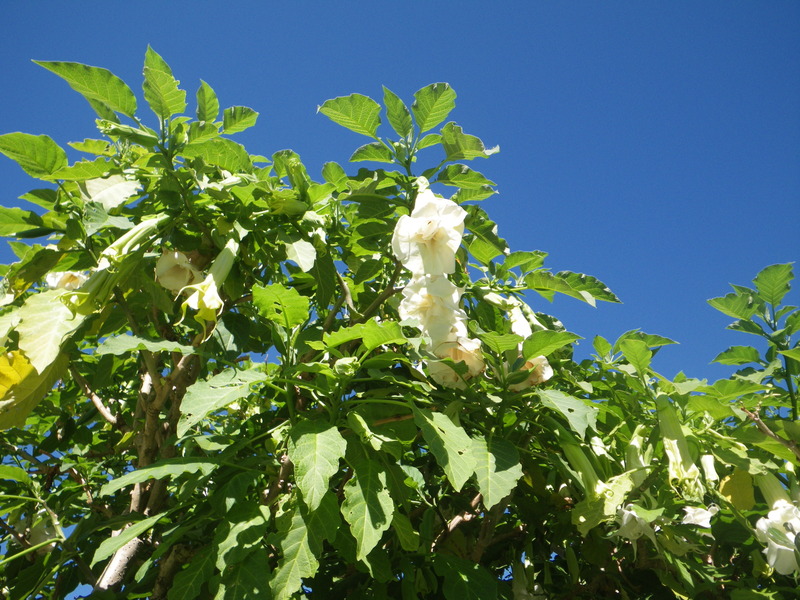
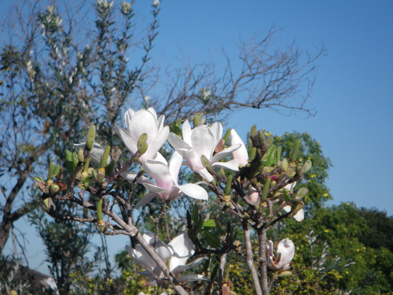
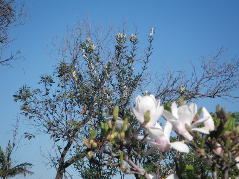
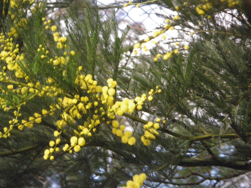
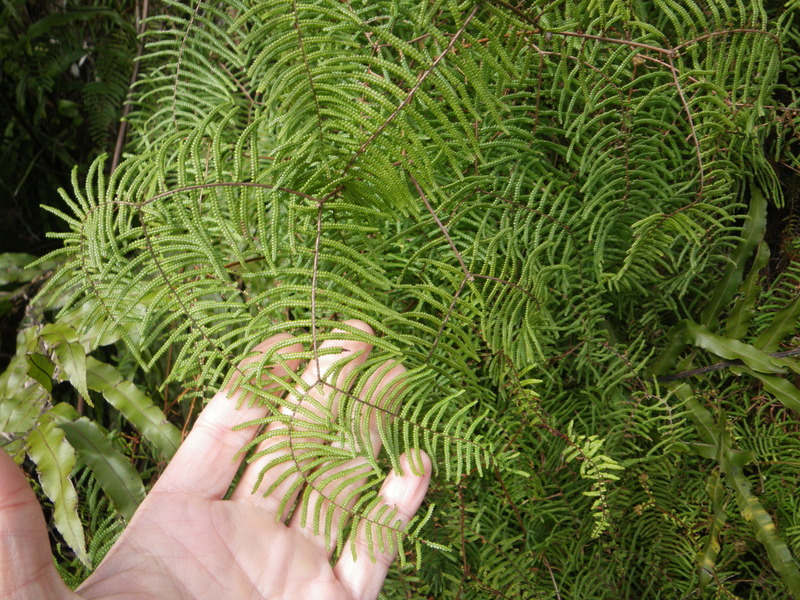
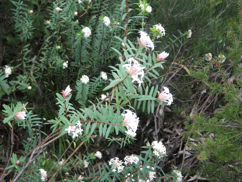
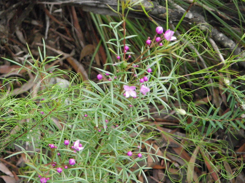
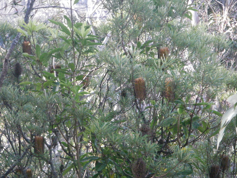
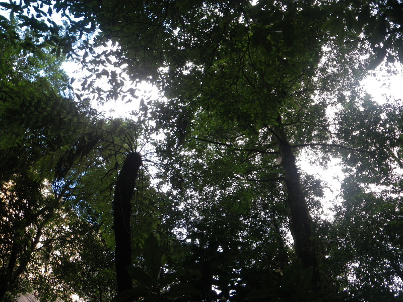
There are many beautiful plants in the Blue Mountains, more than I am able to do justice to.
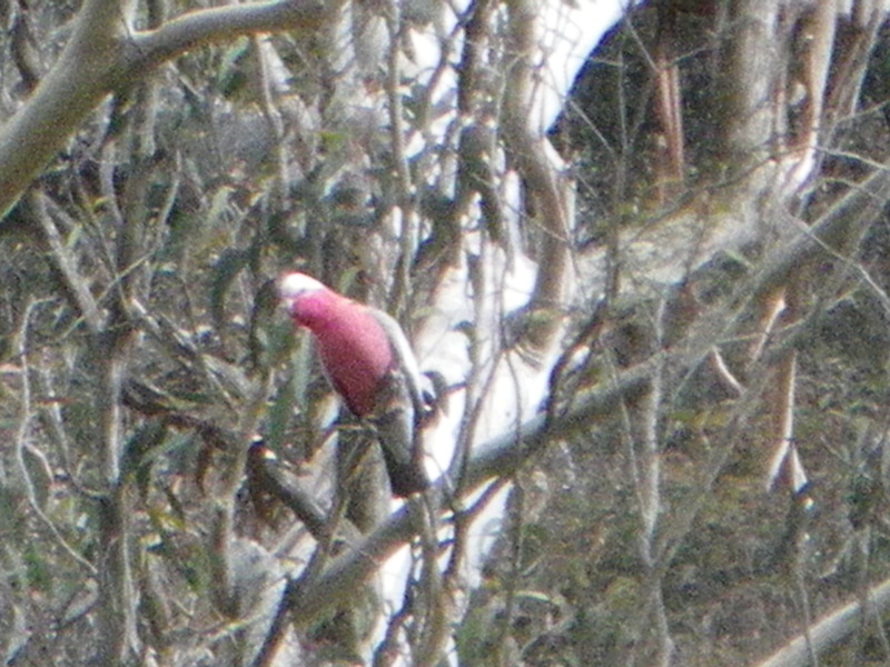
I saw a few birds as well, but I only got one reasonable picture.
Near Katoomba are three pinnacles called the Three Sisters.
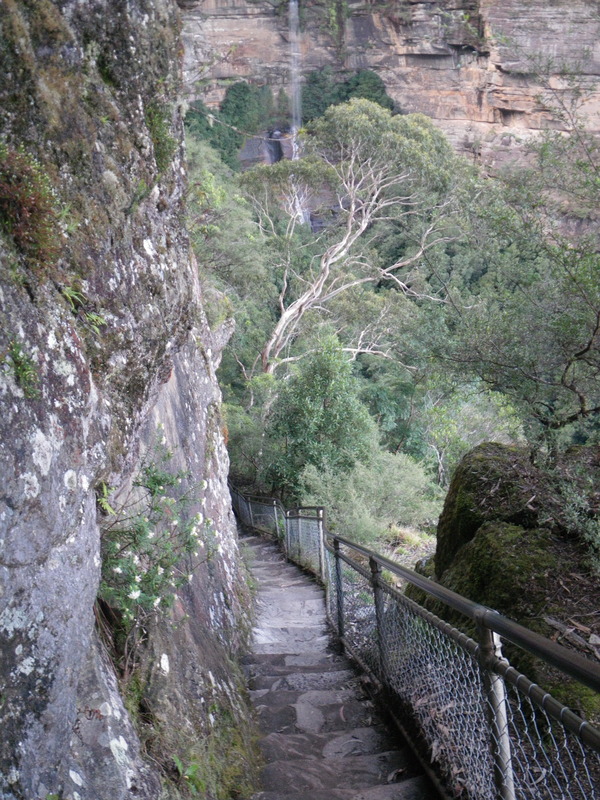
Some of the walks go down the cliffs. If desired, "the world's steepest incline railway" can be taken instead, but I did not. The walks are steep and have many, many steps, some of them carved in the rock. These are the Furbers Steps.
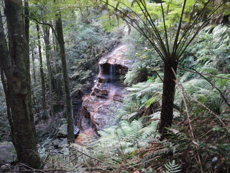
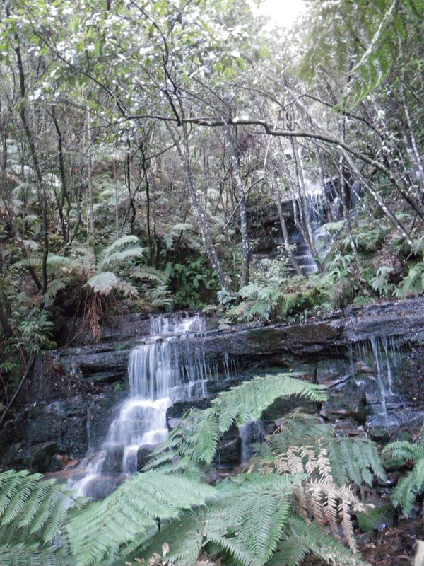
Thanks to the steep cliffs ringing the tableland, there are many waterfalls and cascades. I should mention that while in the U.S. all of these would probably be called waterfalls, in Australia waterfalls are free-falling, whereas cascades are steep but not free-falling. For example, the last picture in the following group shows a cascade.
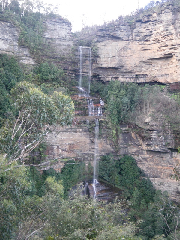
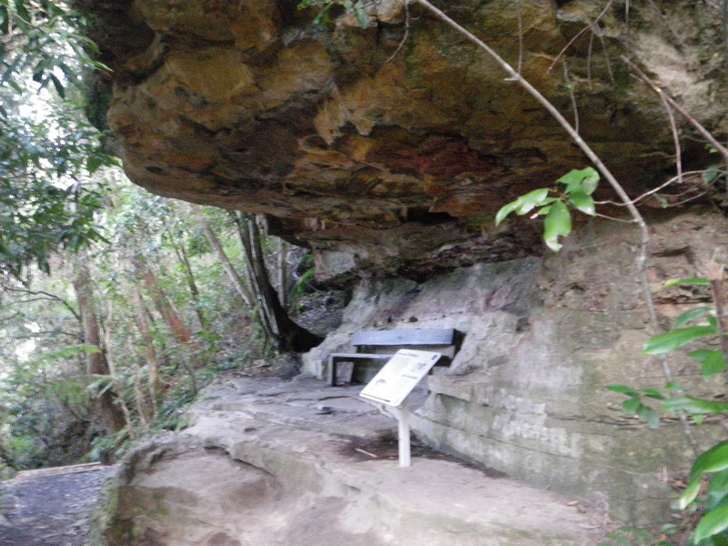
While most of the mountains are made of sandstone, formed from the accumulation of million of years' worth of sand, some layers were formed from old lakebeds, and are clay. The clay is softer and wears out faster, leaving many overhangs. As well as provide shelter, these overhangs make room for the sandstone above them to fall at a later date.
After taking the Furbers steps, I went along the Federal pass, a trail that follows the base of the cliff. The trail, built shortly before the Australian federation came into existence in 1901, was renamed to celebrate the forming of Australia.
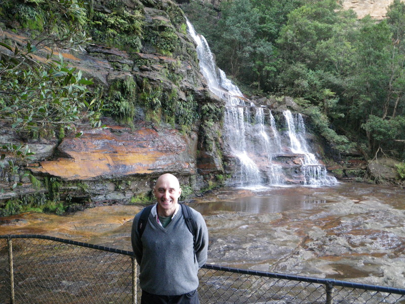
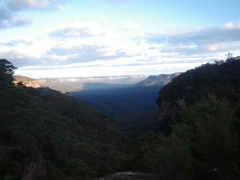
Federal pass goes under the Three Sisters, and took me to Leura forest. Then I went up by Linda Falls and Lila Falls, and got to the top shortly before sunset. This view includes the shadows of mountains projected into the valley.
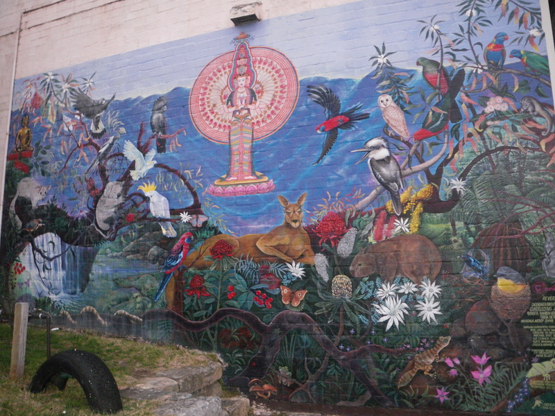
Back in Katoomba, I found a nice mural showing native animals and plants.