Where the Vojussa (Vjosa) river nears the Albanian coast, in ancient times it was navigable for a few kilometers upstream. On the shores of the river was the harbor city of Apollonia. Apollonia flourished until an earthquake in the year 234 AD changed the course of the Vojussa, rendering the harbor unusable and eventually turning the plain around Apollonia into a malarial swamp.
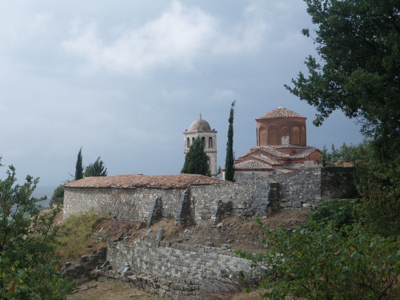
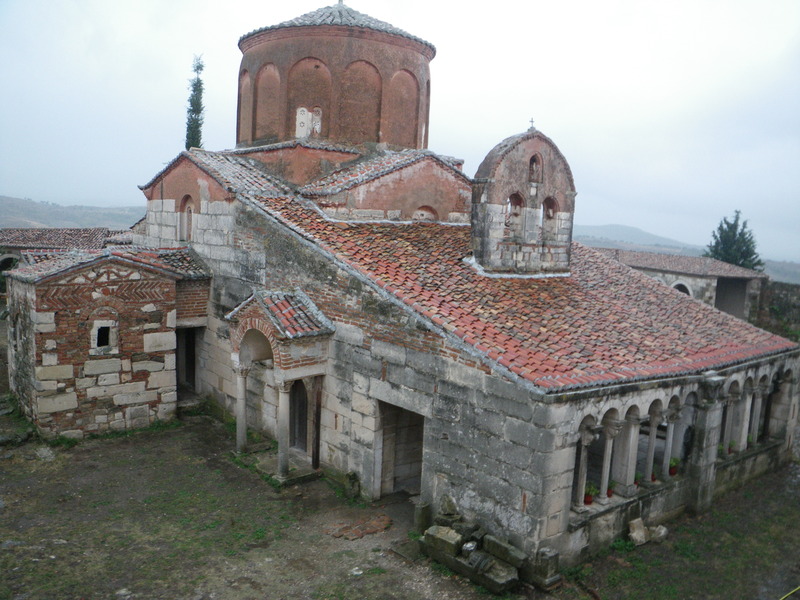
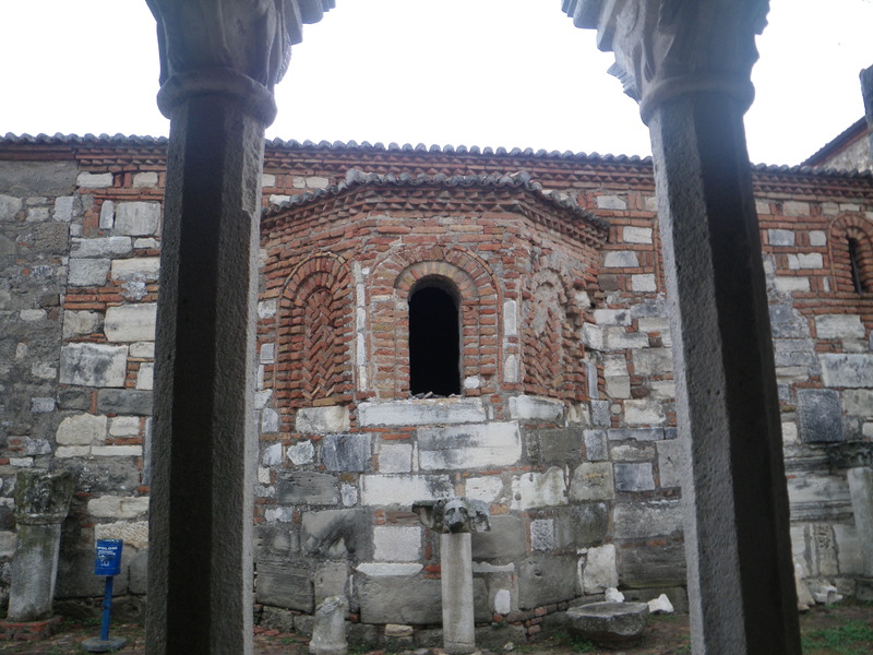
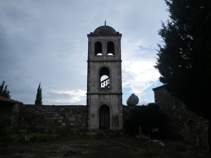
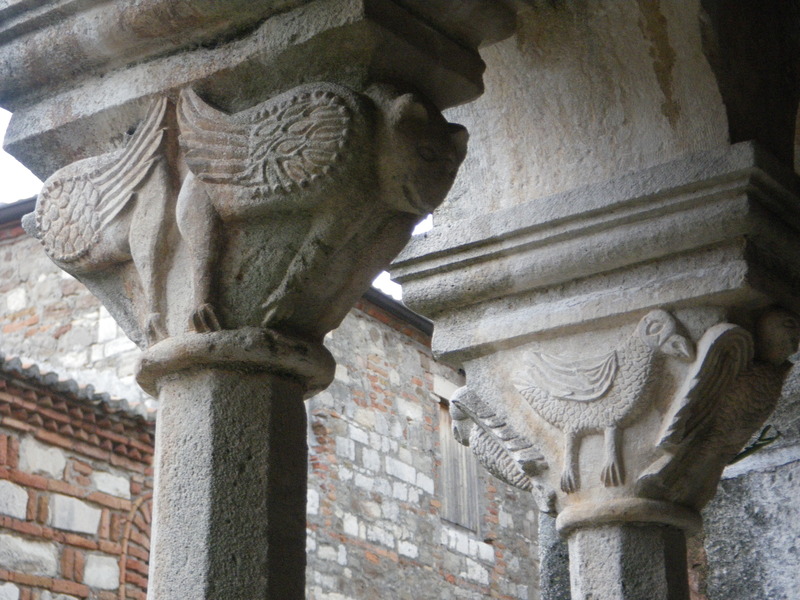
Only a small Greek Orthodox Christian monastery remained on the site of the ancient city. The construction of the monastery was made easier by the abundance of marble and other cut stones in the area.
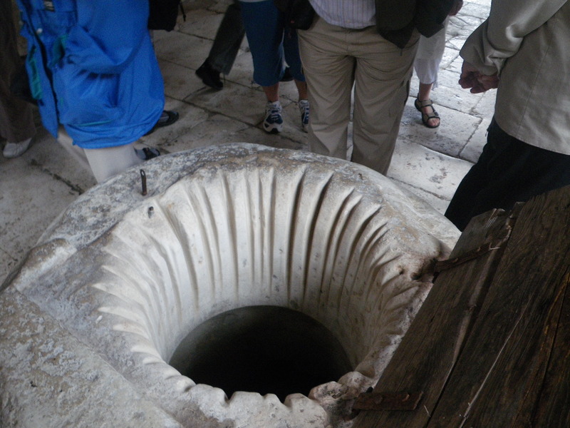
We were told that the lines along the side of this well were made by the ropes used to pull up buckets.
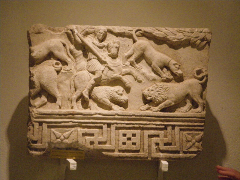
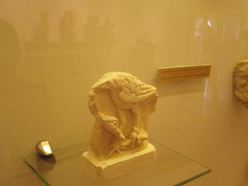
One of the paving stones of the church, when accidentally turned over during restoration of the church, revealed on its lower side a hunting scene. Clearly, the workers who originally built the church had taken the stone and, having no use for the sculpture, had turned it face down so the reverse side could be used for paving. The stone is now in the museum that occupies part of the former monastery.
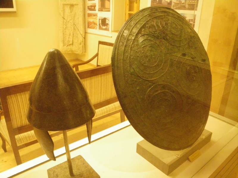
The museum also has an ancient shield and helmet.
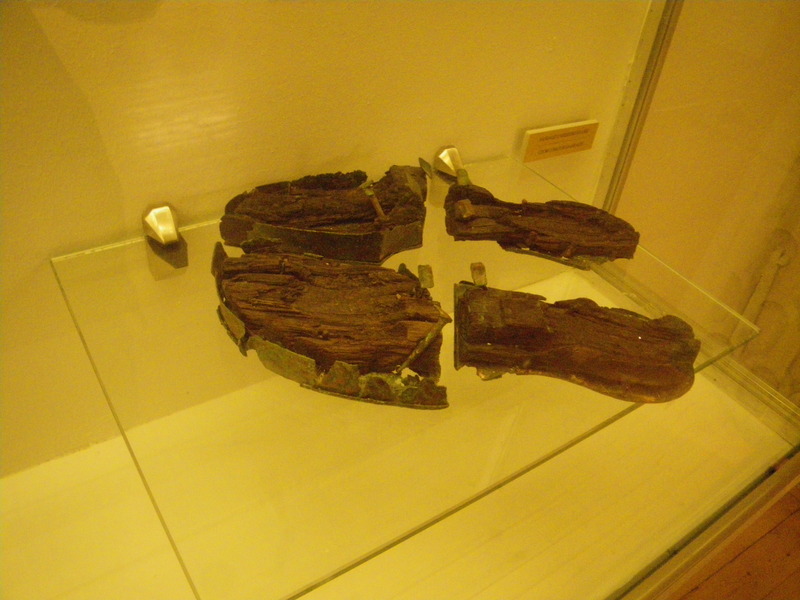
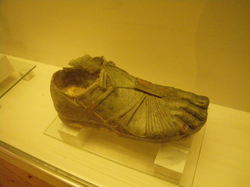
These the remains of ancient sandals, originally made with a wooden sole with a metal frame and leather straps. It is interesting to compare what is left of this shoe with the foot of a bronze statue.
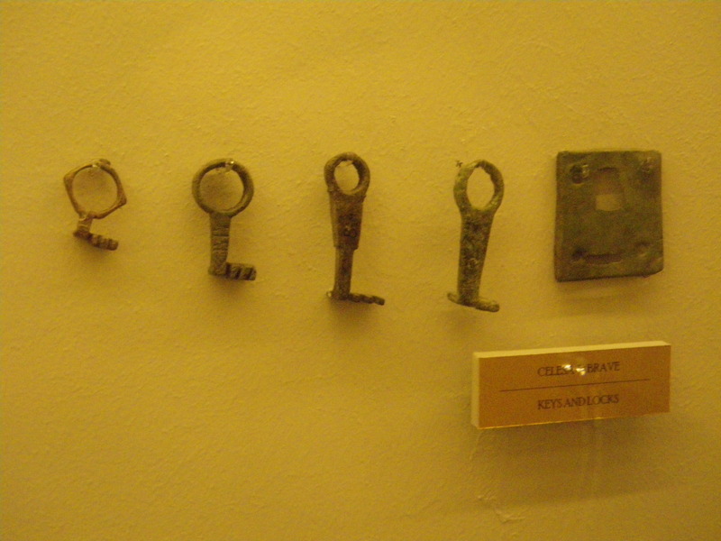
Also on display are ancient keys and locks.
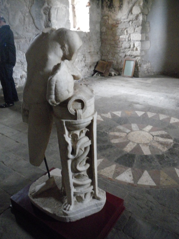
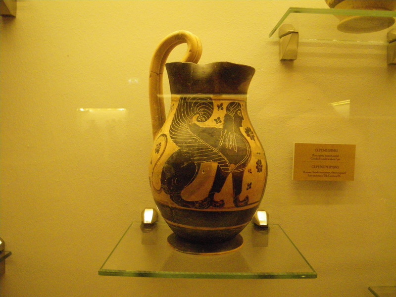
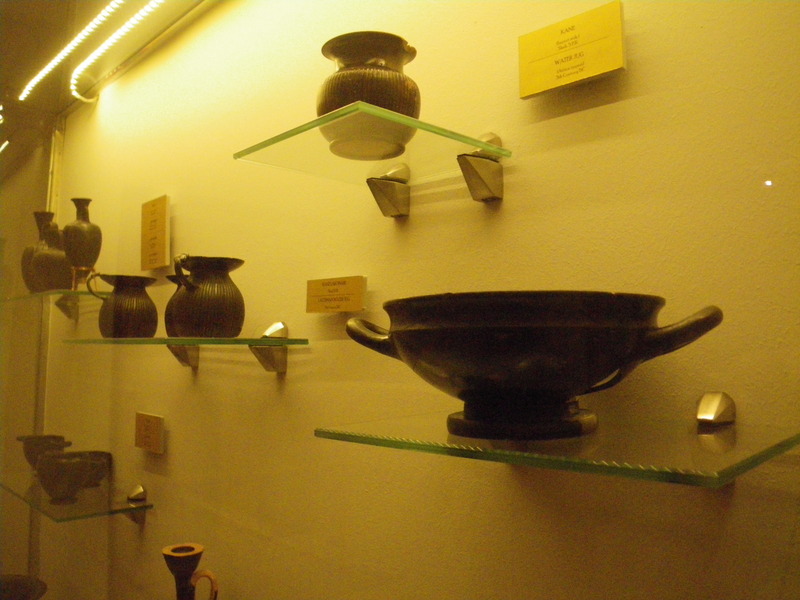
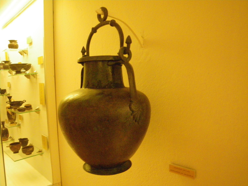
And many ancient vases and sculptures.
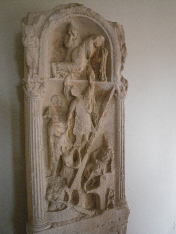
The next picture shows a man dying. His wife is crying in grief. Below, he is crossing the river Styx that leads to Hades.
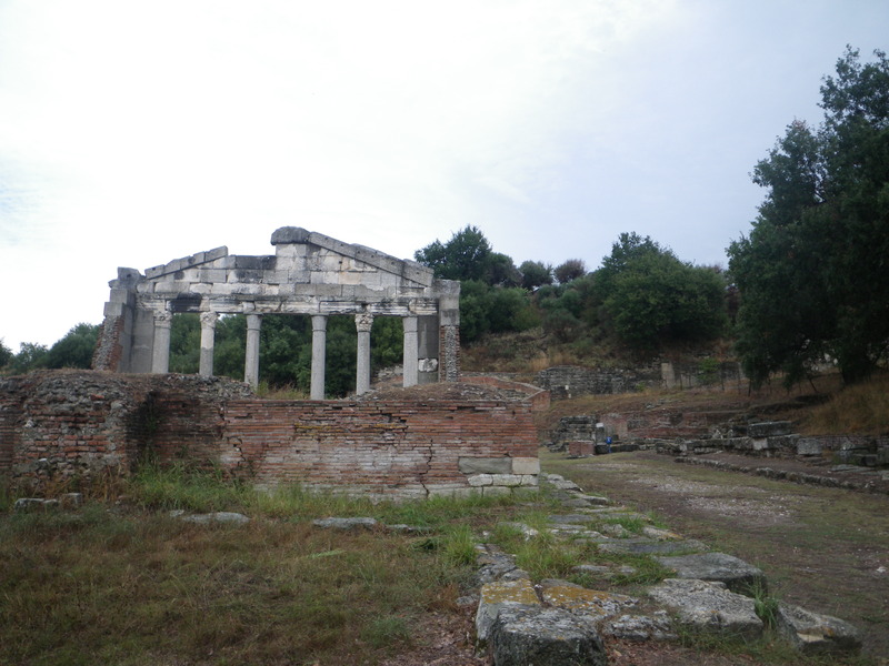
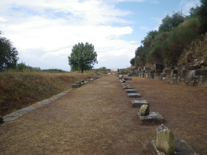
Only a small fraction of the ancient city of Apollonia has been dug up by archaeologists. The parts that can be seen include one end of a building which was the former city council (parliament) of Apollonia.
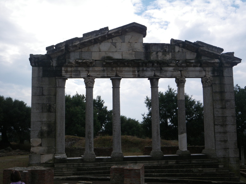
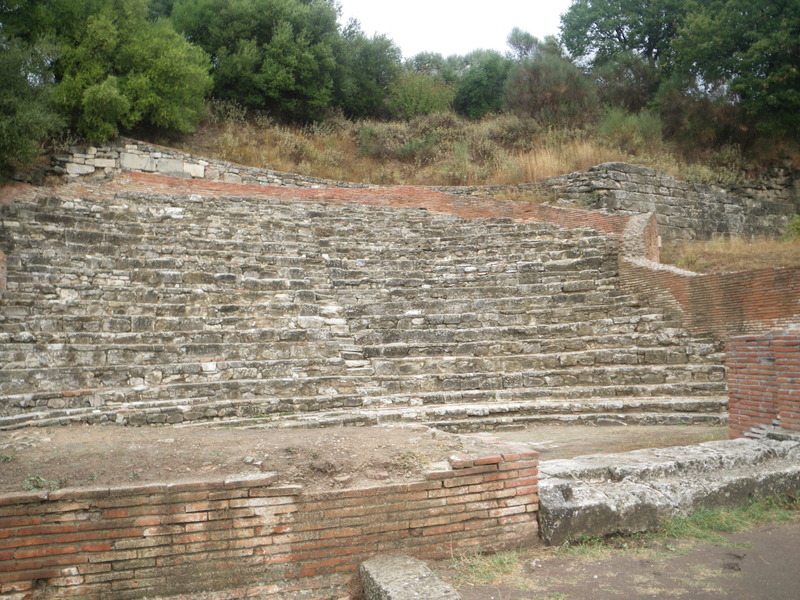
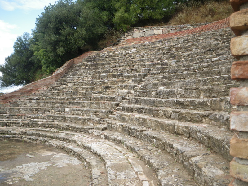
Also a Greek theater, the Odeon.
And the fashionable walk in the center of the city, the Stoa.
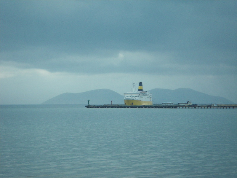
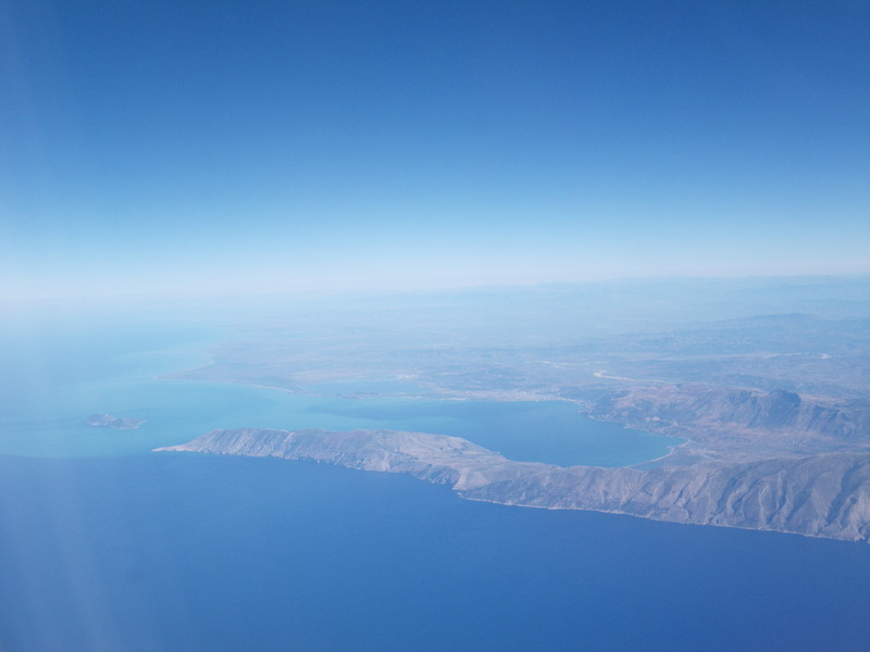
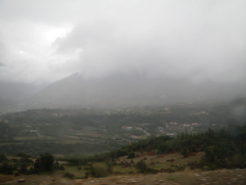
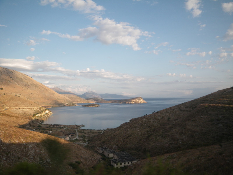
South of Apollonia is the city of Vlore, known as Vallona in Italian. Vlore is on a beautiful gulf, but when we went through, the weather was cloudy and foggy, and we did not see very much.
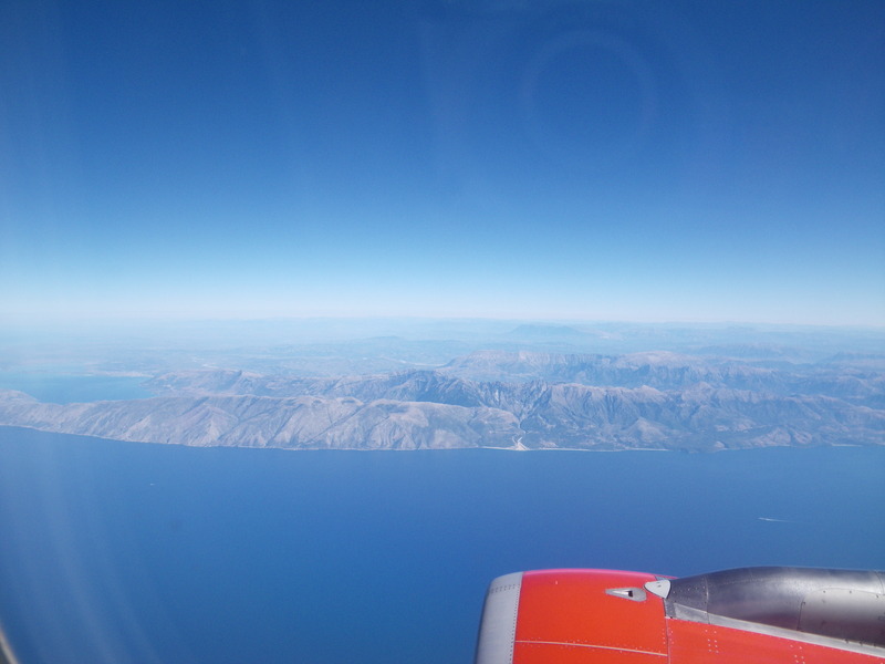
But this is what it looked like on the flight out, on a beautiful day. Vlore is on the far side of the bay.
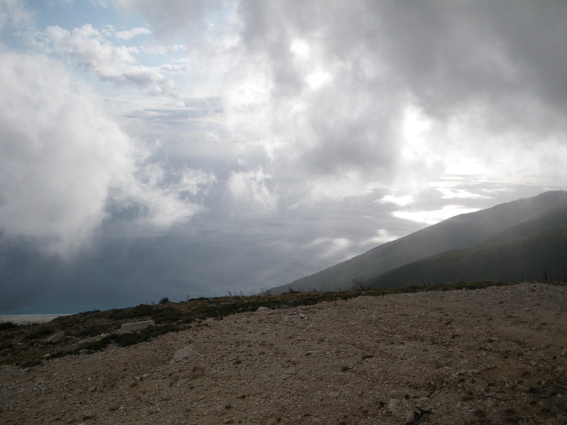
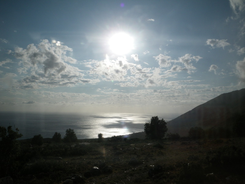
South of Vlore the coast becomes steep and inaccessible, and the road turns inland for a while, climbing up through the mountains through Llogara National Park to Llogara pass ("passo Logora" in Italian).
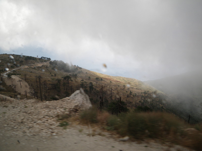
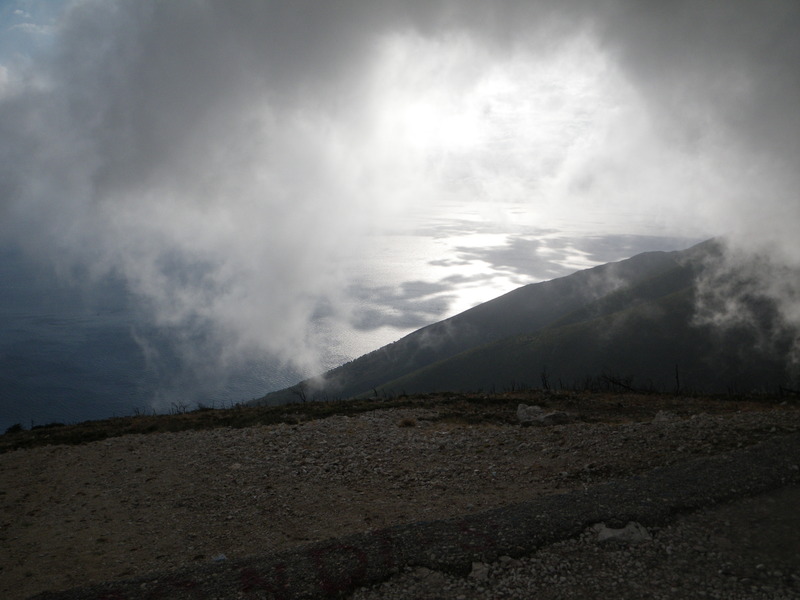
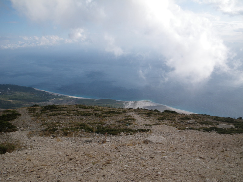
Llogara pass is over 1,000 meters (3,000 feet) above sea level, and when the clouds parted, we had a clear view all the way to the sea below.

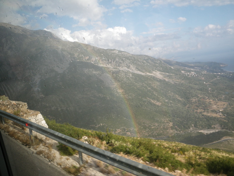
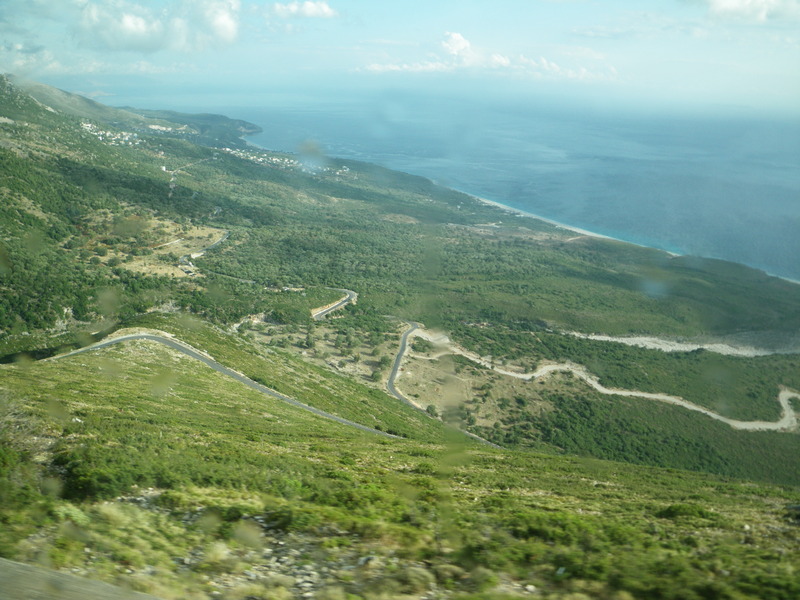
The road coming back down Llogara pass to the sea is a series of long switchbacks across a steep slope. Here is a view from the plane.
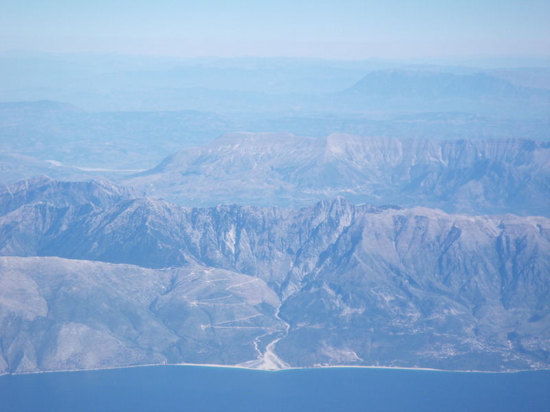
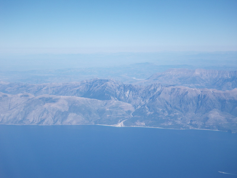
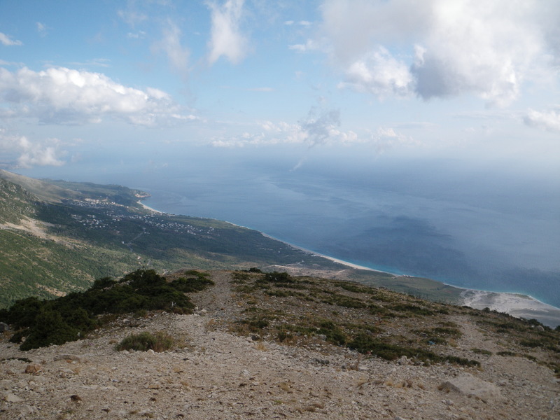
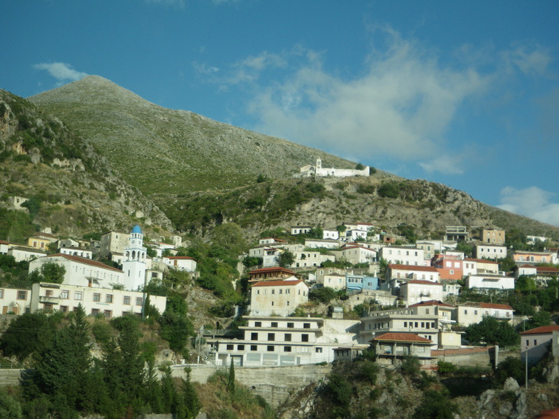
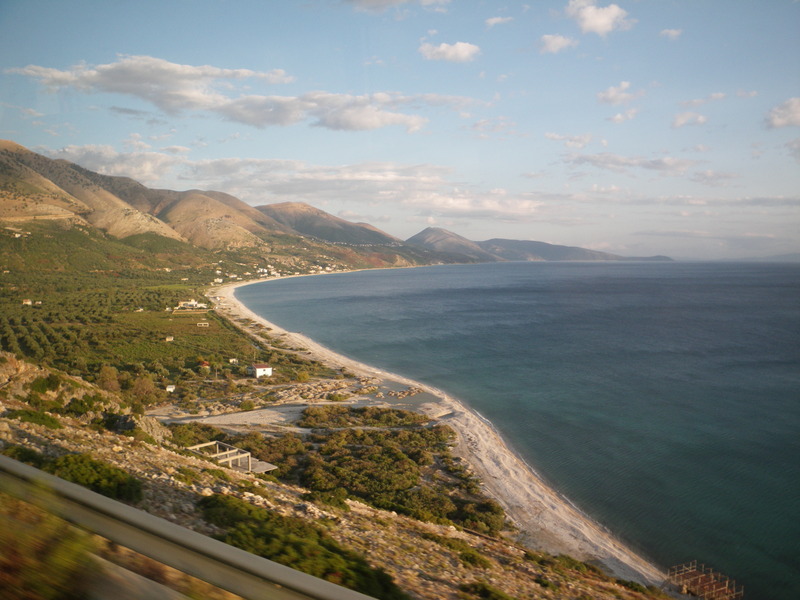
The coastline South of Llogara pass is known as the Albanian Riviera. It resembles the more famous Italian and French Riviera in having hills and mountains very close to the sea, and magnificent views.
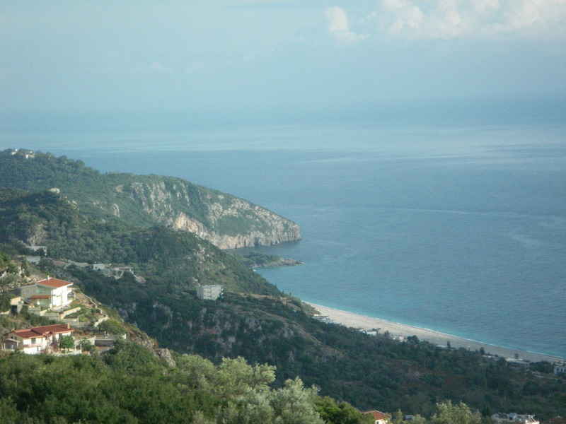
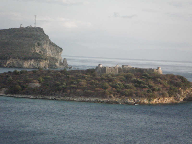
This picture shows one of the castles built for Ali Pasha Tepelena. I saw other castles of his in Butrint, Gjirokastra, and Tepeleni itself. I am sure there were more. Like the others, this one is in a beautiful spot.