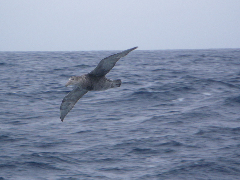
See all the pictures from the Drake Passage
The Drake passage is the stretch of sea between the southernmost end of South America and the northernmost end of the Antarctic peninsula. The first European explorer to cross it was Francis Drake in the 1530s. The Drake passage is well known for strong winds and waves, and many seabirds and sea mammals.
It took us two days to cross the approximately 1,000km from Ushuaia
to the Antarctic Peninsula, and the ocean was about as rough as it often
is in the Molokai channel between Oahu and Molokai.
read more

See all the pictures from the Drake Passage
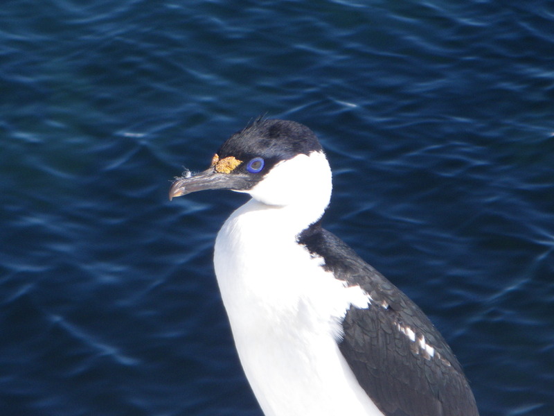
Paradise Bay, on the Antarctic Peninsula, is in a beautiful, icy bay
surrounded by mountains with glaciers. It is the first place where I
landed in Antarctica.
The place where we landed has a small colony of
Gentoo penguins.
Almirante Brown, in Paradise Bay, is the name of an Argentine
antarctic base.
read more
See all the pictures from Paradise Bay
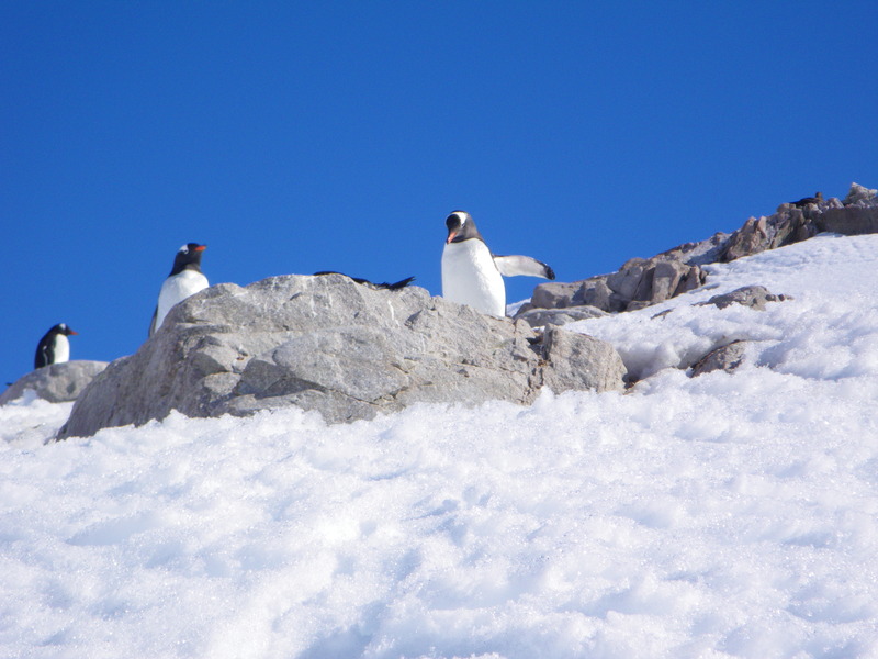
Neko harbor is at the eastern end of Andvord bay. It is named for
a Swedish factory whaling ship that often operated here. Getting to Neko
harbor from Almirante Brown, we saw several icebergs and beautiful
mountains.
read more
See all the pictures along the way
See all the pictures at Neko
See all the pictures from camping at Neko
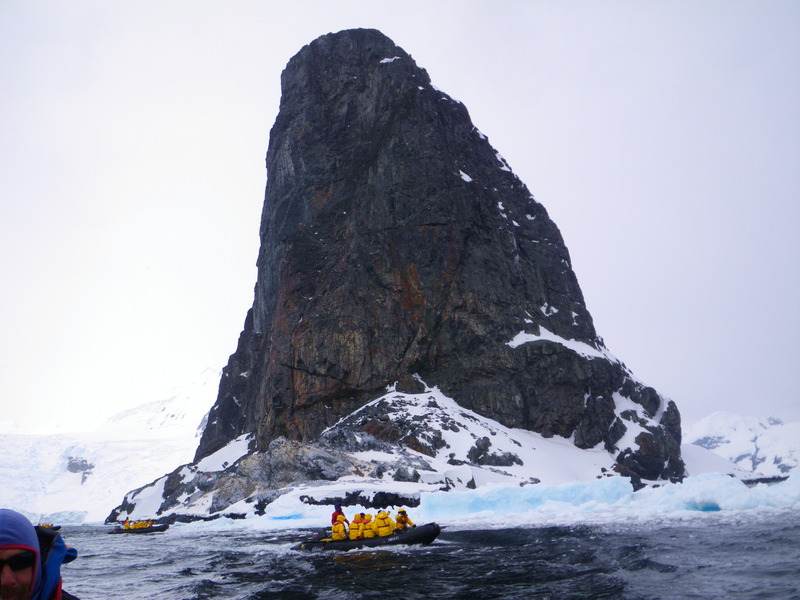
Orne harbor is surrounded by steep glaciers. Unlike at Almirante
Brown and Neko, in Orne we experienced more typical antarctic weather,
cloudy and windy. The wind blew the ice against the shore where we had
planned to land, so we were unable to land there. In other areas where we
might have come ashore, the snow had melted the day before and refrozen
overnight, so was too steep to climb safely. Instead of going ashore,
we took a zodiac ride around the harbor.
read more
See all the pictures at Orne Harbor
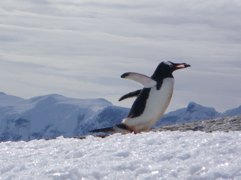
Cuverville island has a very large colony of Gentoo penguins, as
well as slightly more vegetation than the areas we have seen so far --
lichens and mosses, and also one small grass that grows on rocks exposed
to the sun.
read more
See all the pictures at Cuverville
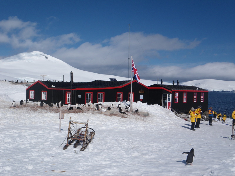
There is a British antarctic base in Port Lockroy that has been
made into a little museum. It is on a very small island called Goudier
Island, at 64 degrees, 49' south and 63 degrees, 30' west.
It was established in 1944.
read more
See all the pictures at Port Lockroy
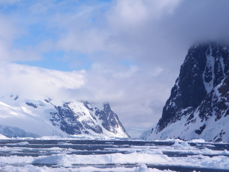
There is a Lemaire strait between the easternmost point of Tierra
del Fuego and the Isla des los Estados. That is over 1,000km North of here.
Instead, the Lemaire channel runs between the Antarctic peninsula and Booth
island.
read more
See all the pictures from the Lemaire Channel
Danco Island is near Cuverville Island. Our ship has gone
back and forth in the Errera Channel quite a bit in the past few days.
read more
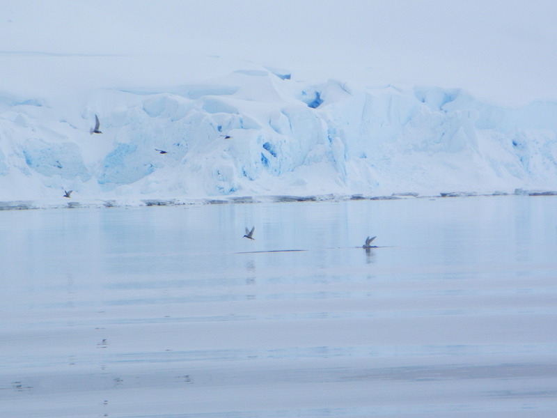
Wilhelmina Bay is another large bay on the coast of the
Antarctic Peninsula. In Wilhelmina bay we saw sea ice and quite
a few animals.
read more
See all the pictures at Wilhelmina
Whaler's Bay is on Deception Island. Deception island is
a volcanic island with a large caldera that is flooded by the
sea, forming a very sheltered harbor.
read more
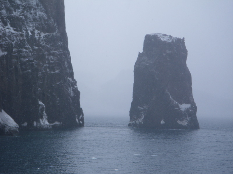
See all the pictures at Whaler's Bay
Because the landings at Whaler's bay were canceled, we went to
Baily head, on the outside of the caldera, where there is a colony of
chinstrap penguins. Often the waves are too high to land on the beach
at Baily head, but we were lucky and were able to land without
incident. The chinstrap colony at Baily head is estimated to
have 100,000 penguins.
read more
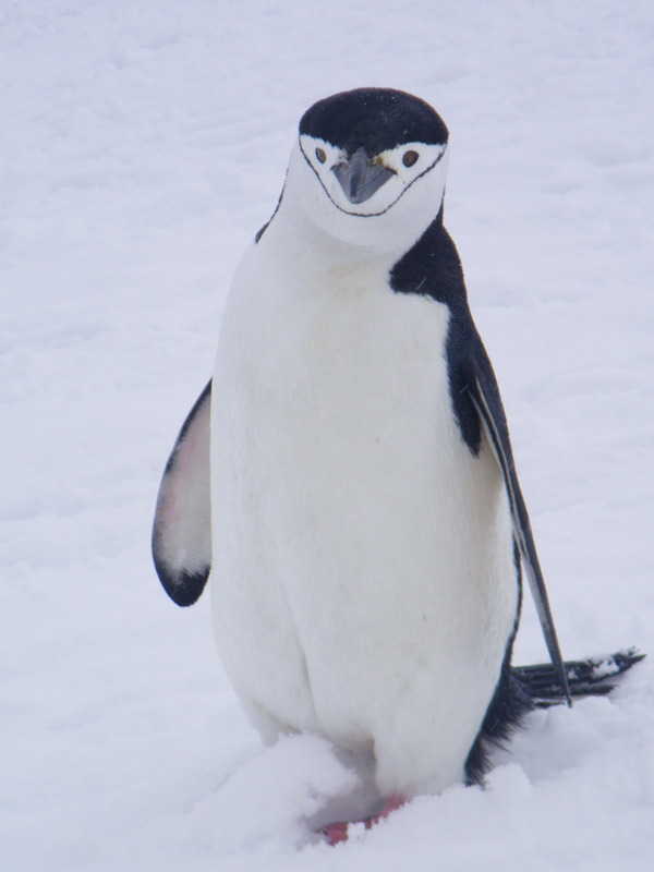
See all the pictures at Baily Head
Our final stop in Antarctica was at Half-Moon Island, near
an Argentine base, and home to a colony of chinstrap penguins, the
occasional Adelie penguin, and a number of seals.
read more
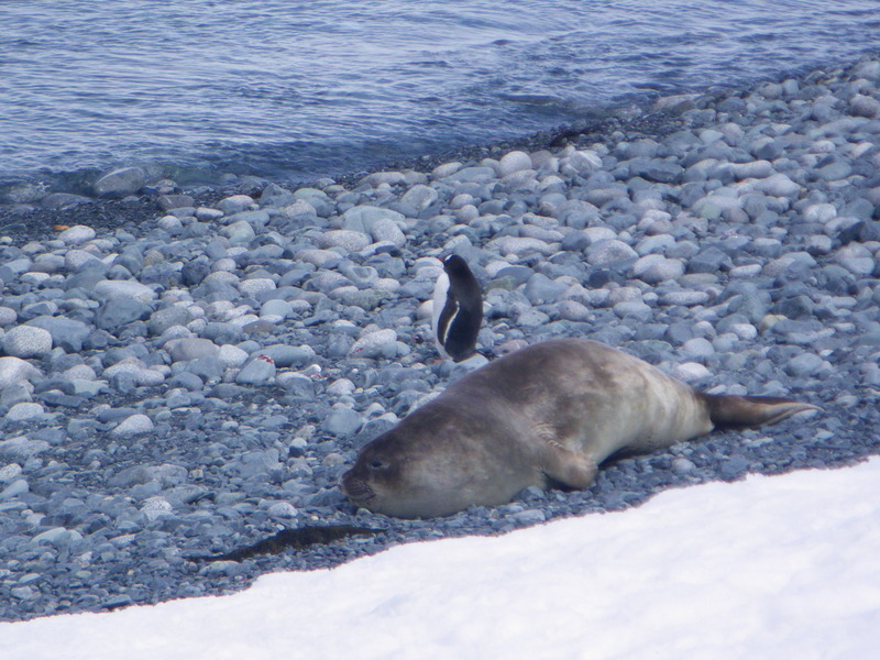
See all the pictures at Half Moon Island
After a fairly uneventful crossing of the Drake Passage, we
saw Cape Horn. In an average year, Cape Horn has 270 days of gale
force weather, so we were very lucky in having a calm day.
read more